Are you looking for a little adventure outside of the pool area of your resort? Maybe something a little more thrilling than wandering the Dunes in Maspalomas? Or are you looking for hiking adventures outside of well known, and often overcrowded, places in Europe? Look no further!
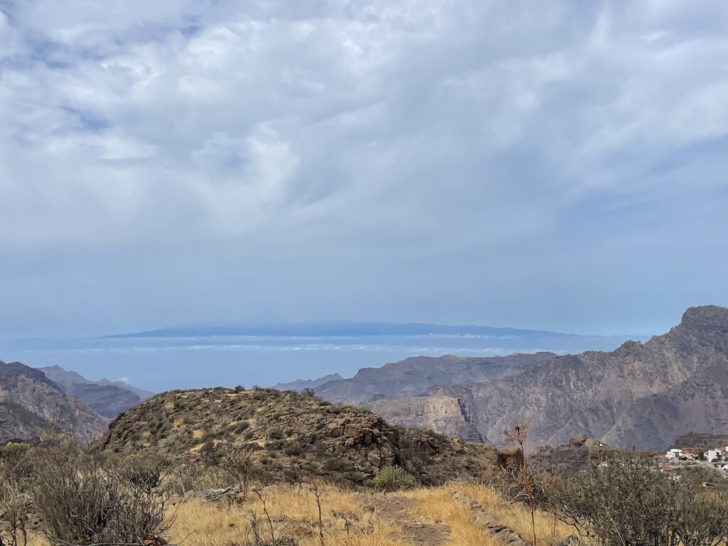
We know Gran Canaria isn’t exactly known as a major outdoor destination, but after a year of living here, it keeps surprising us with its breathtaking scenery, adventurous landscapes, charming small villages and, most surprisingly, trails that are often almost empty.
We recently had a friend visiting from Australia who described the island as a mix between Hawaii and the canyons of Arizona. Now that I’m writing it down, it almost feels like overselling the island, but she’s not far off. And on top of all that, there’s the unmistakable Canarian charm and hospitality that makes both the place and its people even more special.
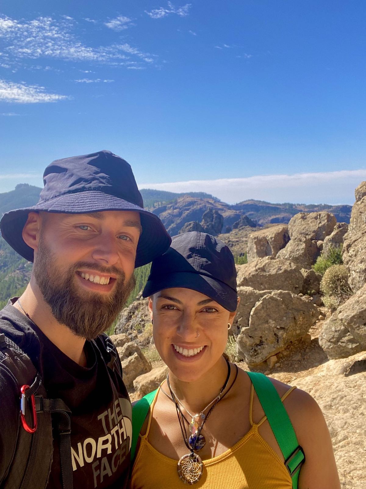
About us
In the last few years, we’ve completed everything from the Camino de Santiago in Spain to the Manaslu Circuit in Nepal, jungle expeditions in the Colombian Amazon, and several of the Great Walks in New Zealand, just to name a few from the past three years. Hiking and outdoor adventures are definitely not new to us, so deciding to move to Gran Canaria together felt a bit daring for me. All I knew about the island was crowds of retired people, large family resorts, and golf courses. Not exactly the kind of place I was used to visiting.
At the same time, I knew the island offered year-round sunshine, endless beaches, and a slower approach to daily life—something Laura had already fallen in love with after living here for about a year before we met. So we decided to give it a chance… and what a surprise that turned out to be.
Over the past year, we’ve spent most weekends exploring the island’s many trails, mountain ridges, caves, remote beaches, valleys, and villages. And time after time, we’ve been truly amazed by the sheer beauty and diversity Gran Canaria has to offer, along with trails that are, more often than not, almost completely empty.
There really is something for everyone here. For any fitness level and any level of adventurous feeling!
The practicalities
Getting there and around
Gran Canaria has been a popular holiday destination for decades, so flights here are abundant. Once on the ground, you definitely need a car since it is difficult and SLOW to get around with the public transportation (Guagua), especially when you want to access the hiking areas.
The roads are generally in great condition across most of the island, even up in the mountains—perhaps not surprising, considering the World Rally Championship is held here every year. Most places can be reached within about an hour by car, no matter where you’re staying.
That said, be prepared for tight turns and winding mountain roads. Take your time and don’t rush. I personally find driving around the island thrilling, while Laura… well, she gets a little stressed from time to time. But the scenery along the way? That’s something we both enjoy every single time.
When to visit
This island is a year round destination! The weather here is always sunny and with very little rain. However we do have seasons, which is mostly seen in the change of flora.
The winter months of November to February are peak season here for most tourists, but only a fraction of these people find their way to the hiking trails. The summer months of May to September can be very hot, so you need to plan your hikes really early in the day or in places where there’s more shade.
The spring and autumn months are definitely our favourite, but again, the seasons really don’t impact this place a lot.
Microclimates
Gran Canaria is known for it’s microclimates. The south and west are always sunny and hot, the east is always windy, and the northeast is usually cloudy or rainy. Believe it or not, some places can actually get really cold. The extinct vulcano in the middle has a huge impact in the weather around the island, so always pack for eventualities.
Digital Maps
Most trails are well marked, but you can’t always fully rely on them. We recommend downloading and using either AllTrails or Maps.Me, saving the trails and maps online so you can use then when you don’t have signal, which happens quite often.
Sunprotection and Water
Do not underestimate the sun, especially during mid day. Bring lots of water and sun hats since most trails have long stretches without shade. Natural spring water is almost impossible to find. If you run out of water, do not be afraid to ask a local to fill up your bottle, they will always help you out. But the ones you meet will rarely speak english.
The 7 Best Dayhikes in Gran Canaria
7. El Barranco de las Vacas
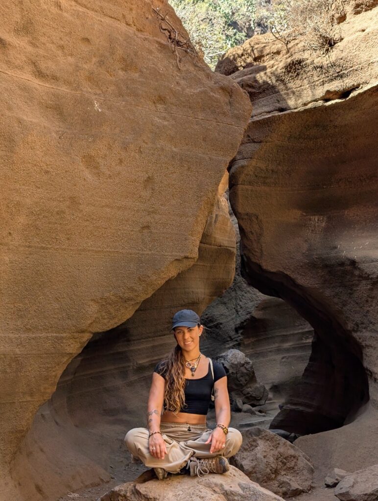
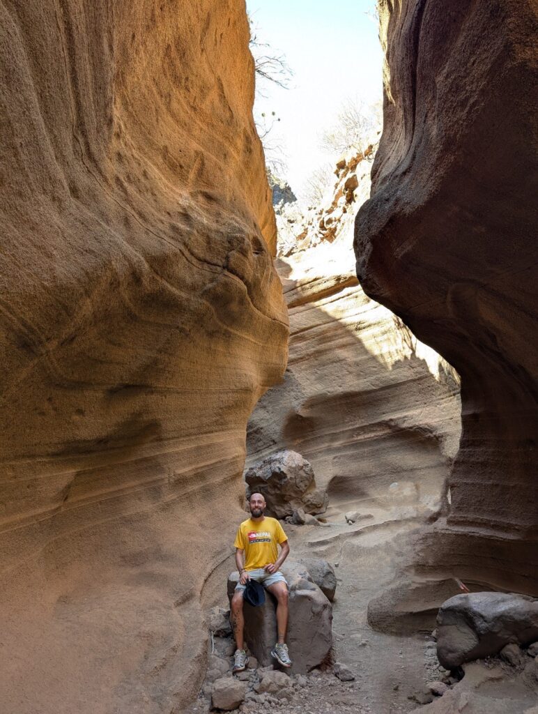
This impressive slot canyon feels almost otherworldly. El Barranco de las Vacas is formed by volcanic rock eroded over time by water, creating winding, sculpted walls in warm, earthy tones. It’s a rare kind of landscape, comparable to places like Antelope Canyon in the USA, which is exactly why this hike made the list.
The hike itself isn’t the most dramatic one in Gran Canaria, and the slot canyon can almost be reached by car, so don’t expect solitude at the very end. Still, despite its popularity, it’s absolutely worth the visit.
Distance: 7 km
Duration: 2,5-3 hours
Typical climate: Sunny and hot
Trail type: Loop
Altitude: 563 m
Elevation: 312 m
Difficulty: Moderate
Trail start: Coordinates
Trail link: HERE
Description:
This hike starts farther away from the slot canyon than most people choose. Simply driving there and doing a short 10-minute walk to the canyon didn’t feel interesting enough for us, we wanted to earn it a little.
The beginning of the trail can be confusing. A large sign at the entrance warns that the trail is closed due to the danger of falling rocks in the ravines and valleys, so don’t take that road. Instead, walk up the mountainside to the left until you reach not the first, but the second water pipe. From there, follow it along the mountain wall and enjoy the spectacular views across the valley. For a while, it genuinely feels like you’re on the wrong path, but don’t worry. After passing what looks like old, abandoned farming fields, the route eventually reconnects with the main trail.
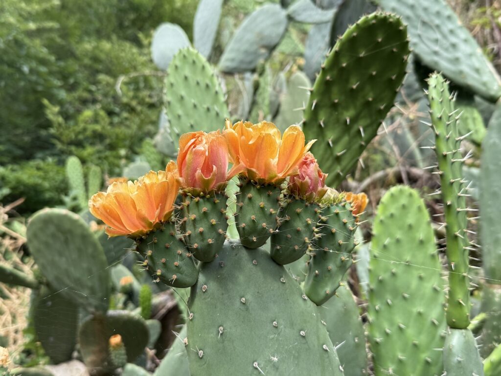
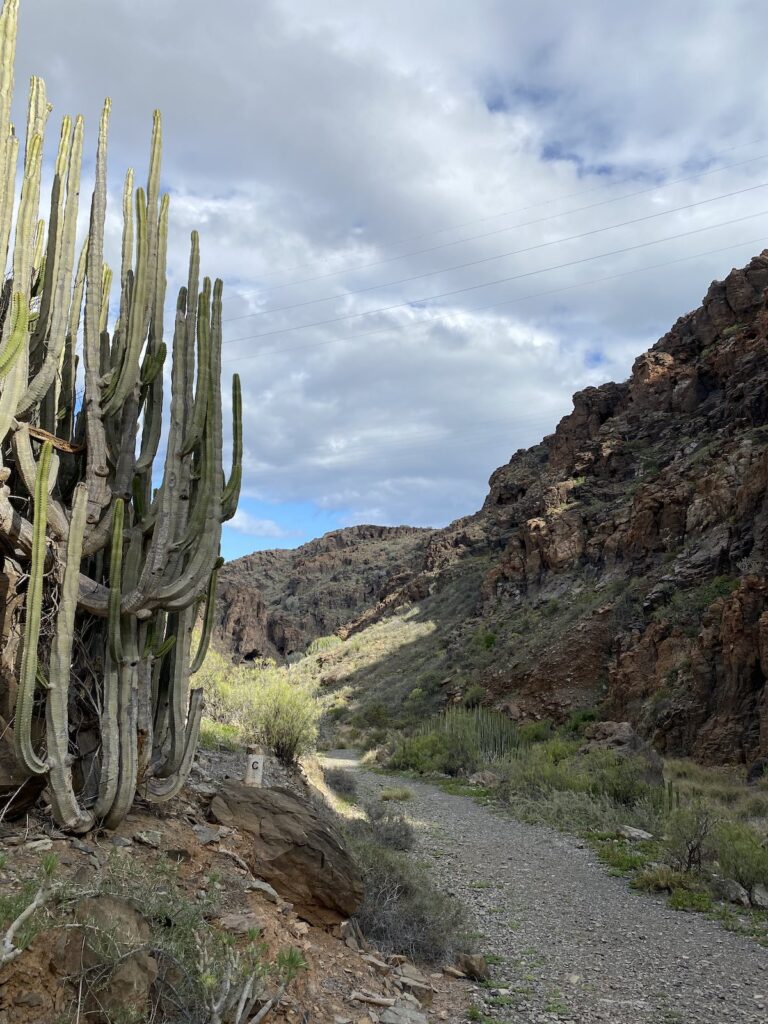
As with many hikes in Gran Canaria, the landscape surprises you with its desert-like character: cacti lining the trail, vast open views of mountains and valleys, and the ocean stretching out in the distance. That said, it’s important to note that there’s very little shade along the way. We did this hike in late October, and it was still hot enough for the sun to feel relentless on our heads.
Throughout the entire hike, we met only one person. With the characteristic Canarian kindness, she offered us water and even a ride, seeing how intense the heat was. We gently declined, we were used to the conditions by then and had more than enough water to finish the hike.
In the final ten minutes, as we approached the heart of the trail, more and more people began to appear. And then suddenly, there it was: the narrow slot canyon. Tall, smooth walls shaped by ancient water rose around us, with light filtering in from above, casting warm tones and soft shadows. The curves and layers of rock felt almost sculpted by hand. It’s like a tiny cousin of the famous Arizona canyons, but with its own distinctly Canarian character.
After taking a few photos, we began our return, following a wide, dried-out riverbed, passing old agricultural terraces, and finally crossing a vast open landscape that led us back to the highway where we had parked the car.
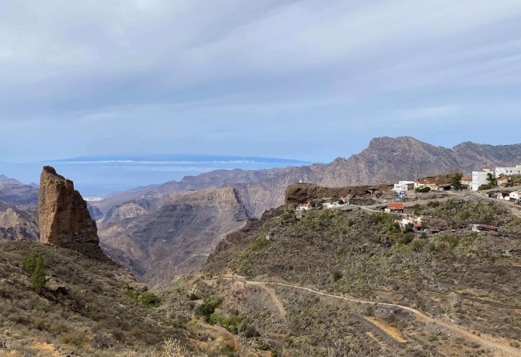
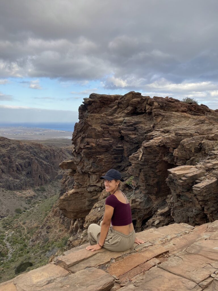
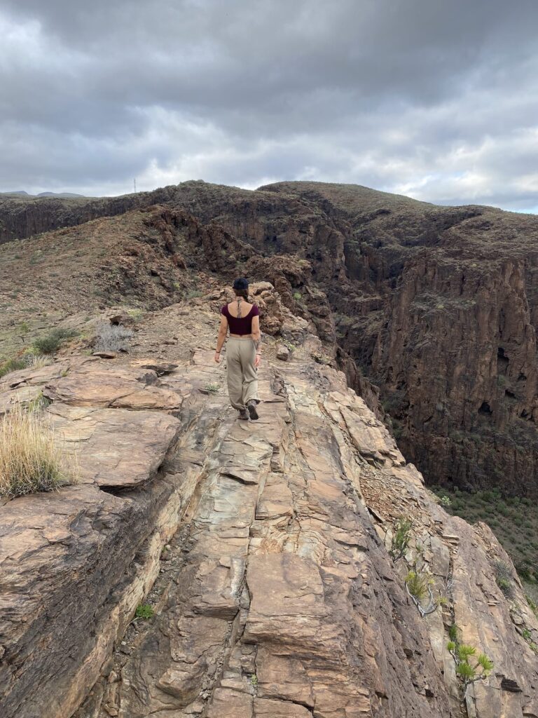
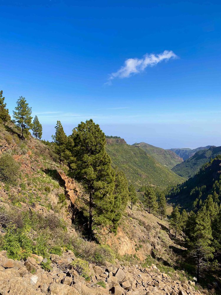
6. Ronda – El Toscón – Taigüy – El Juncal
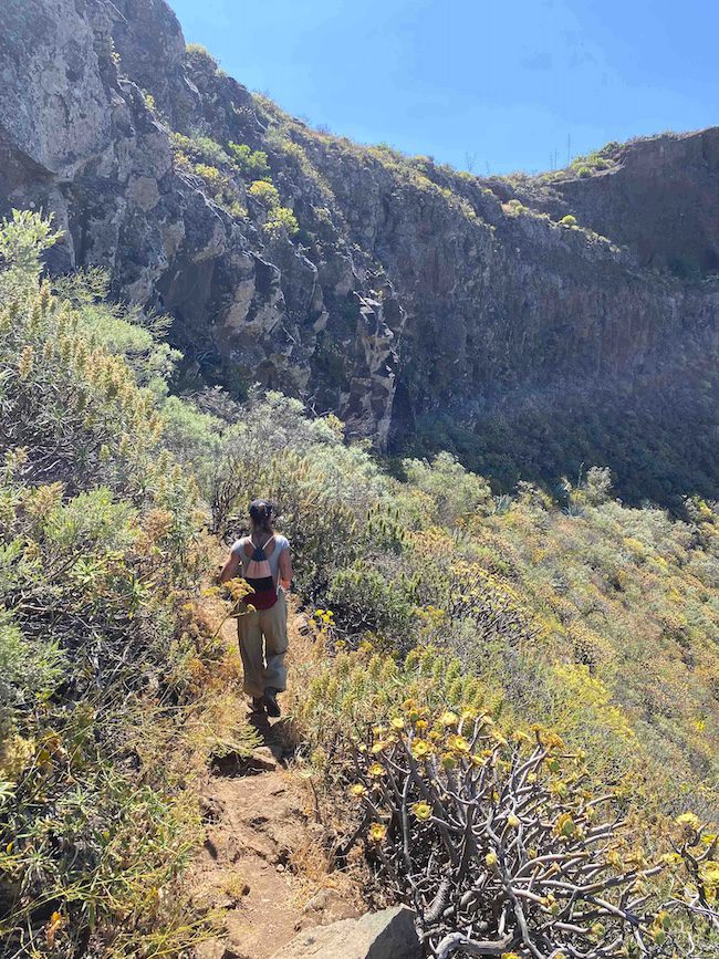
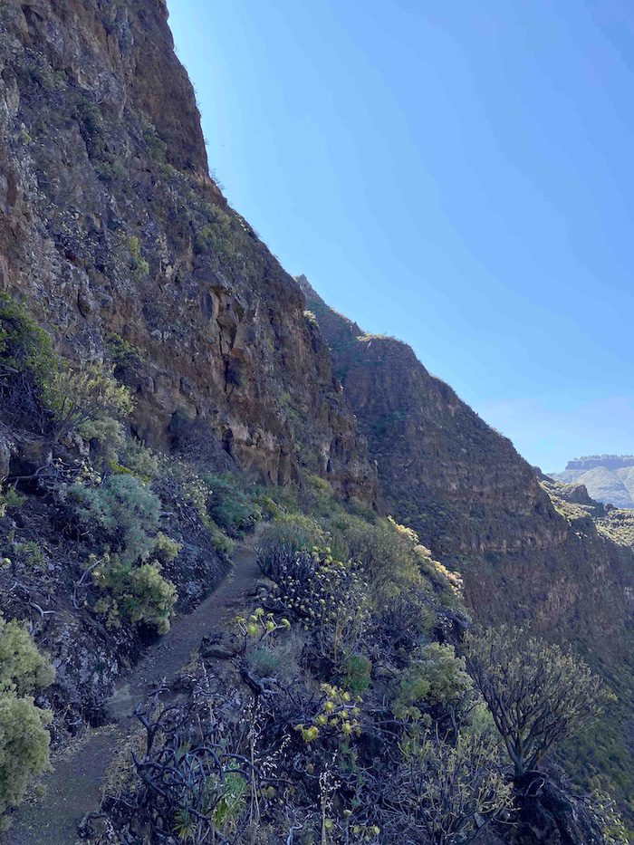
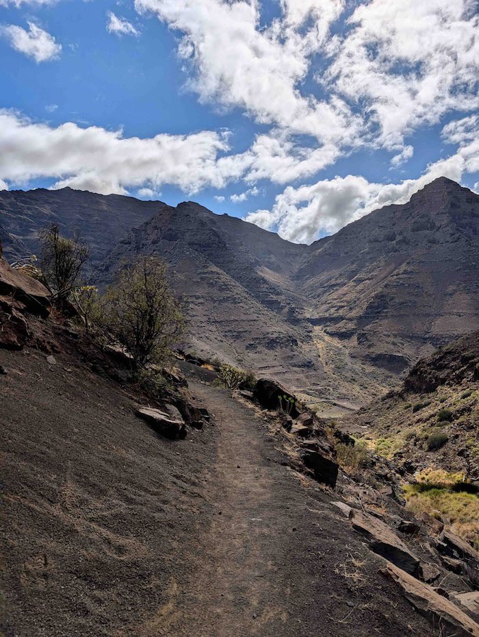
Between Reserva Natural de Inagua and Roque Nublo, this beautiful hike takes you through ravines and valleys, along ridges, past old rural settlements and agricultural terraces. You won’t always find classic “postcard” moments here, parts of the trail are austerely beautiful, while others feel rugged or arid. But throughout the journey, you’re constantly immersed in astonishing geology, traces of old settlements, and dramatic views that reveal both the raw, untamed nature far from tourist crowds and closer to the island’s authentic rural life.
Distance: 11,1 km
Duration: 4,5-5,5 hours
Trail type: Loop
Typical climate: Sunny
Altitude: 1.307 m
Elevation Gain: 734 m
Difficulty: Moderate/Hard
Trail start: 27.95654, -15.65559
Trail link: HERE

Description:
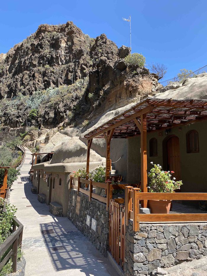
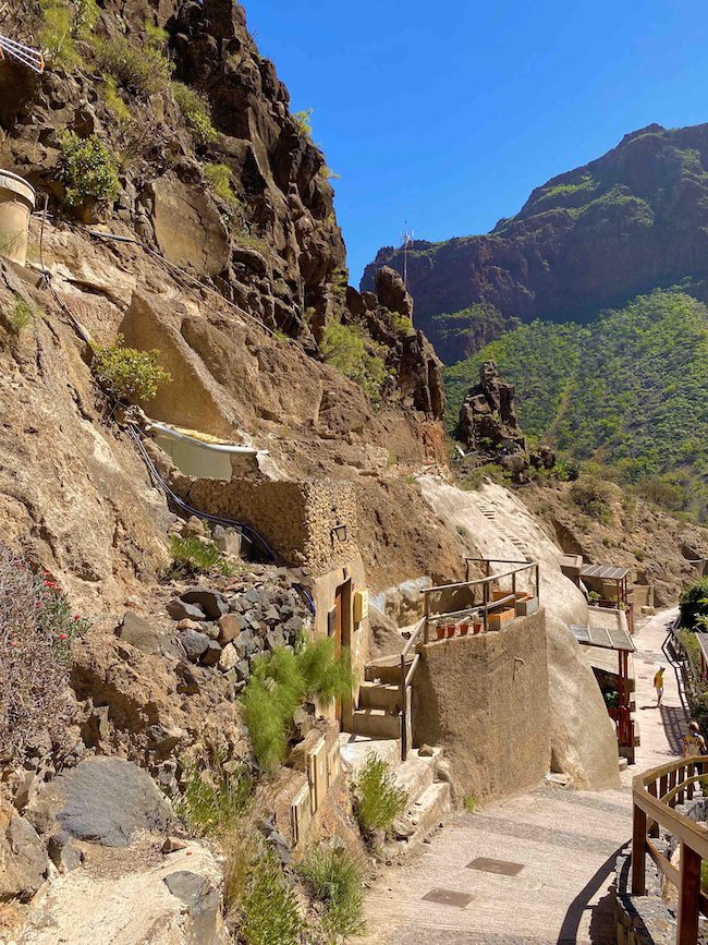
The drive to the start of the trail is already part of the experience. It’s undeniably beautiful, but the roads are narrow, winding, and at times a little exciting, so it’s important to leave plenty of time to get there. The hike begins near El Juncal, deep in the island’s interior, in a small settlement dotted with traditional cave houses, a distinctive feature of Gran Canaria.
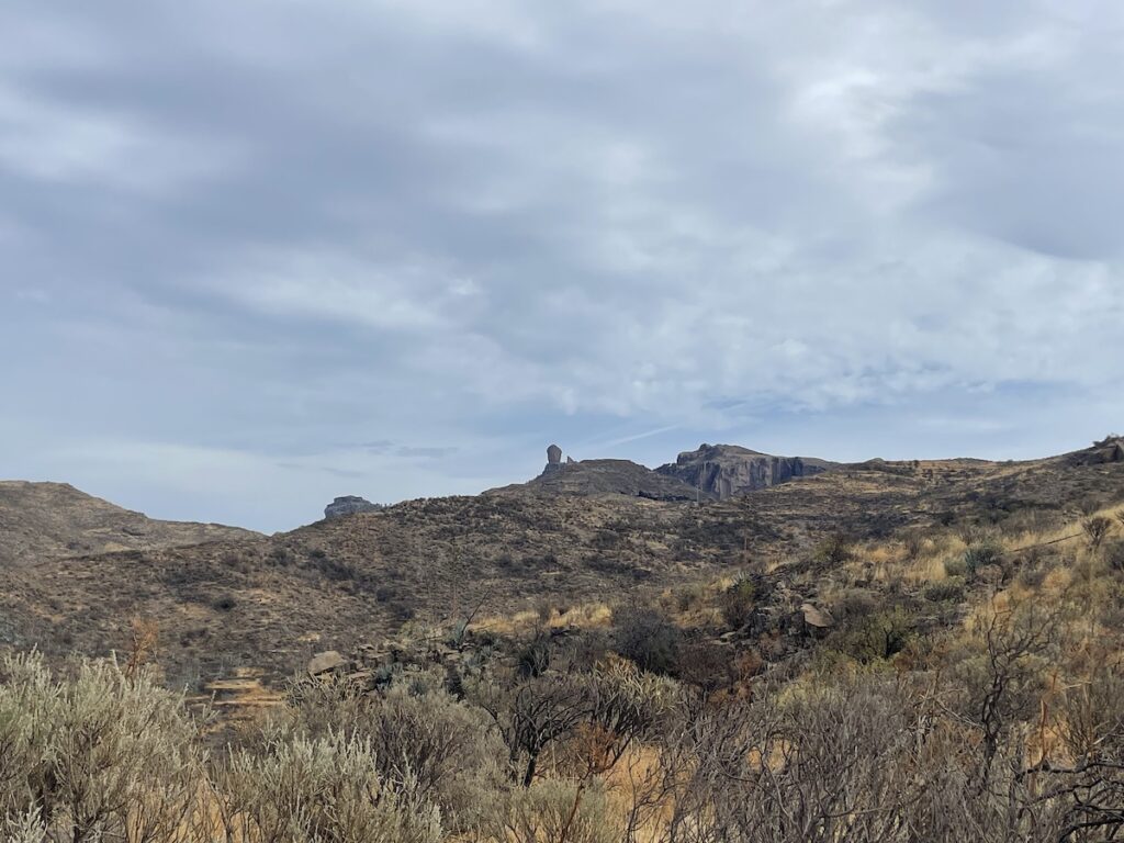
Once past the settlement, the trail continuously changes character. It shifts from dirt tracks and narrow footpaths to ridgelines, dried-out riverbeds, overgrown paths, rugged terrain, open landscapes, and the occasional small town. The elevation gain and loss is constant, and every so often the unmistakable silhouette of Roque Nublo appears, towering above the surrounding mountains.
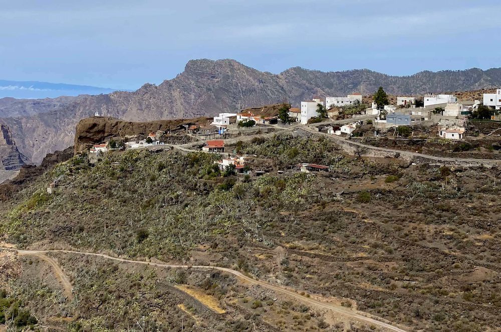
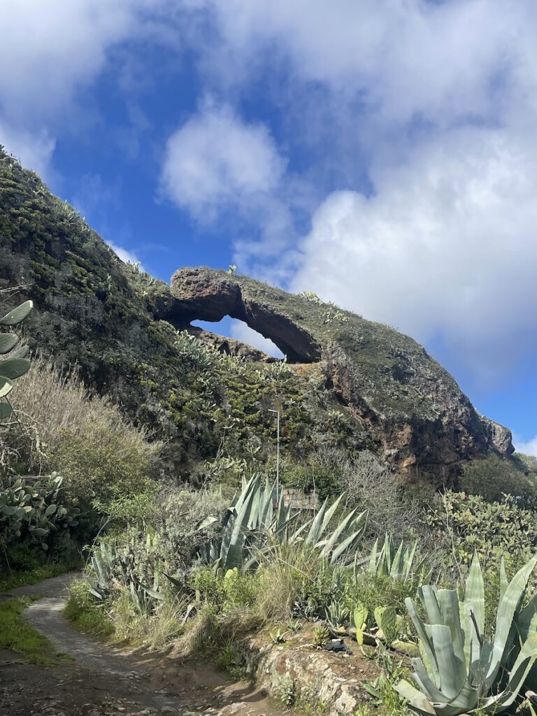
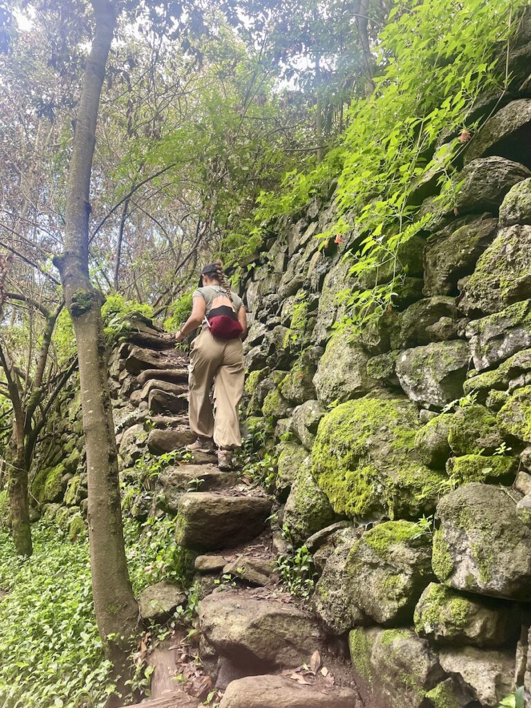
After following this ever-changing trail for some time, we reached a long descent that led to a set of rustic stone steps winding through cacti and up toward El Toscón. This tiny town sits at a viewpoint overlooking a beautiful arched rock crowned by a small church. We stopped here for a while to pet and play with the many cats that live in the village -a familiar sight in Gran Canaria, where it’s common to see food left out for street cats throughout towns and settlements.
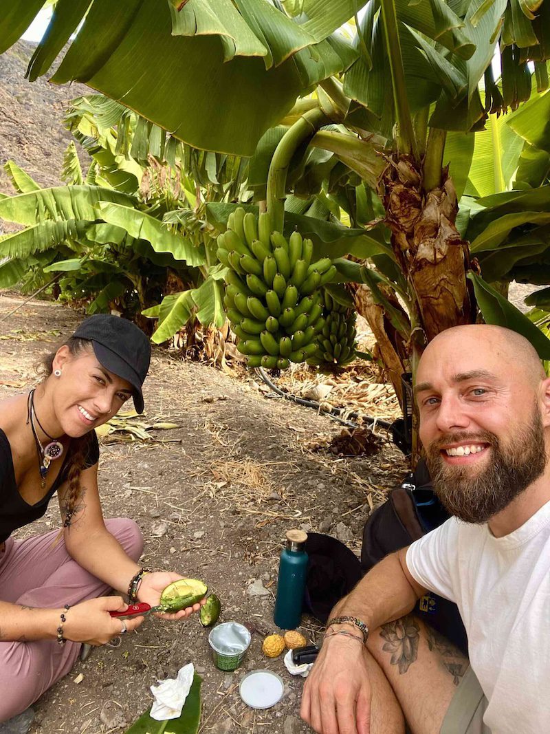
We were also lucky enough to meet a woman from the village who, with the usual Canarian warmth, welcomed us and told us we could always stop by for some homemade goat’s cheese -one of the island’s most emblematic products.After this pause, we continued our way. The route moved back into dry, open terrain before dropping once again into ravines and valleys carved by water over centuries. We descended into and crossed these gullies where the water has long disappeared but left behind a microclimate perfect for a surprising variety of vegetation. On the final stretch of the hike, just before reaching the settlement where we had parked the car, our backpacks slowly filled with almonds fresh from the trees, oranges, passion fruit, and a bag full of poppy seeds, the perfect ingredients for Christmas-time biscuits and cakes.
Note: The trail is not always marked very well and sometimes overgrown so remember to download the map before.
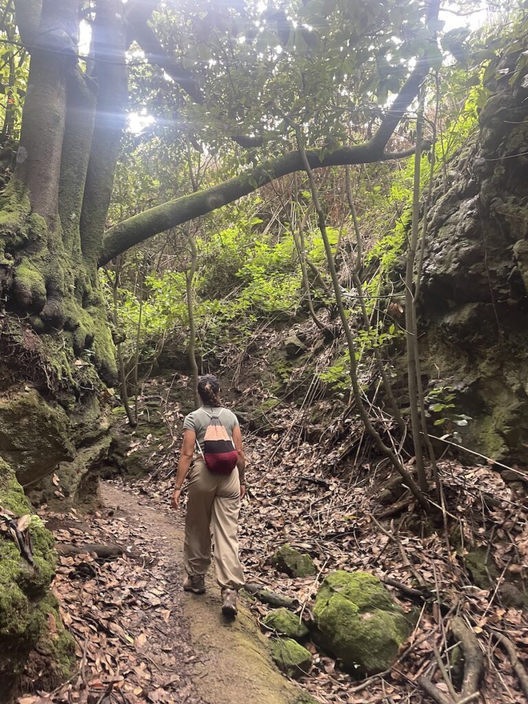
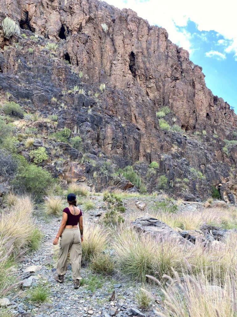
5. Sendero del Álamo, Teror
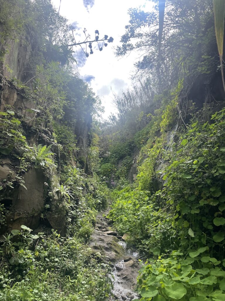
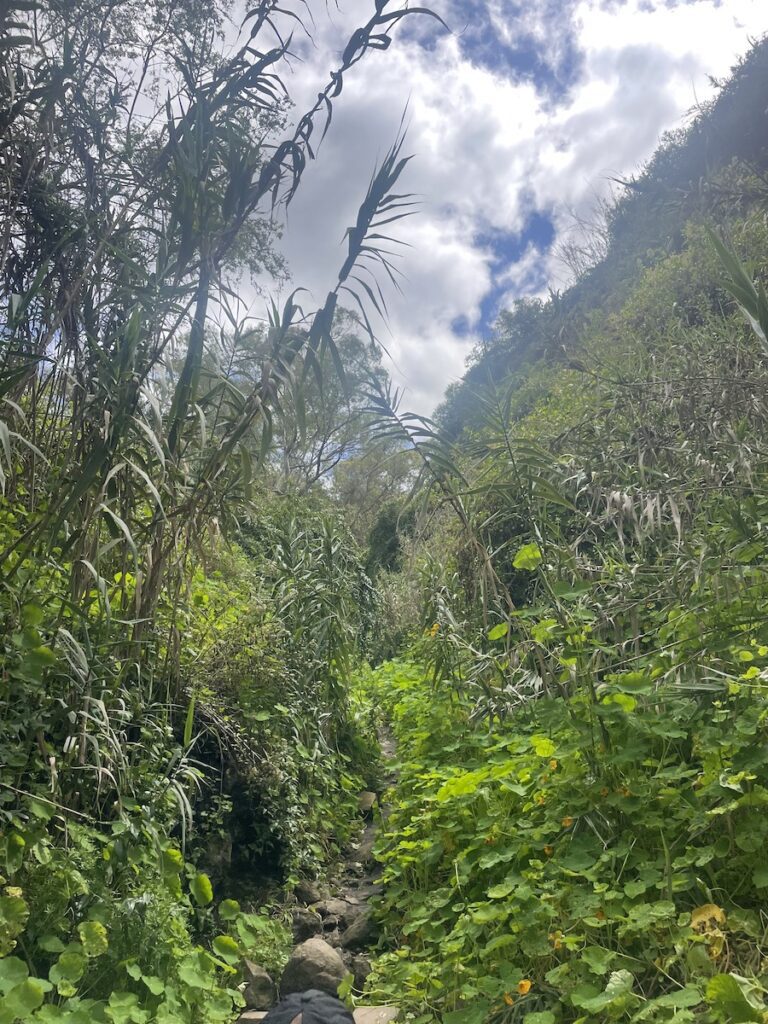
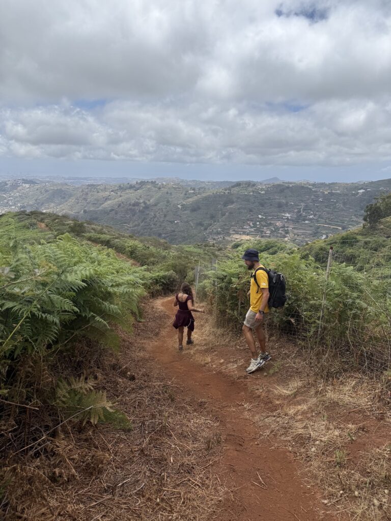
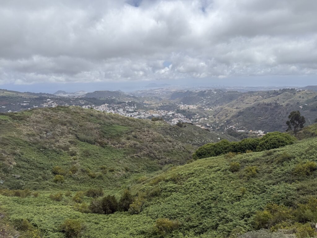
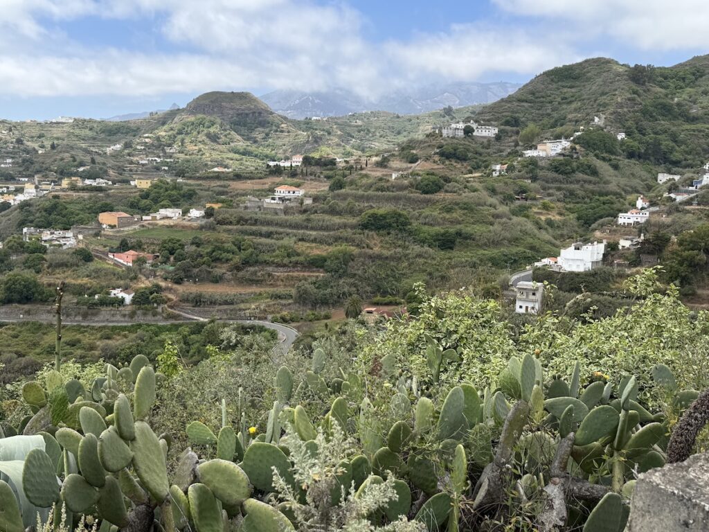
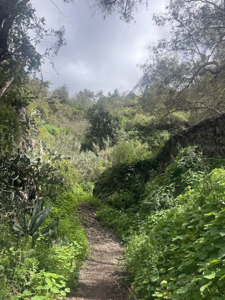
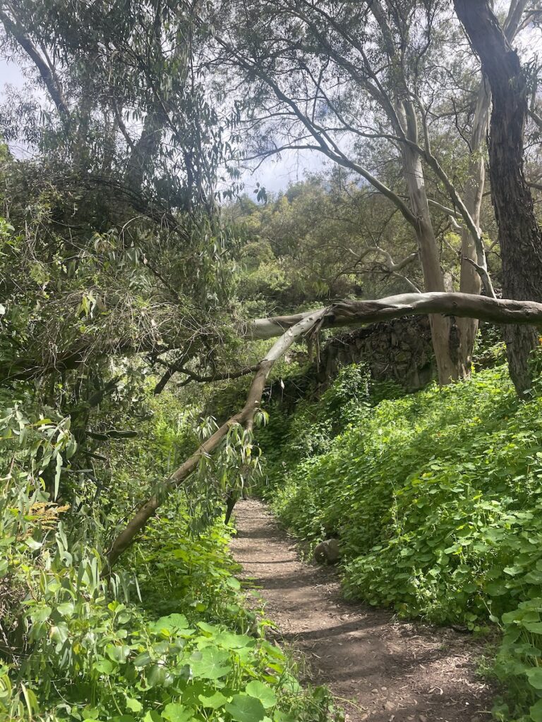
This is a beautiful hike through one of the greenest and most lush parts of the island. The trail offers views across mountain slopes dotted with small towns, ravines filled with ferns and cacti at the same time, and everything in between. You’ll walk through a constantly changing landscape of slopes, ravines, and valleys; sometimes open terrain, sometimes shaded groves, sometimes unexpectedly lush corners. The route never feels uniform: one moment you’re under open sky, the next you’re beneath a canopy of native trees with dense undergrowth and grass, and suddenly you’re standing on a mountainside overlooking neighbouring towns.
Distance: 6,5 km
Duration: 2,5-3 hours
Trail type: Loop
Typical climate: Changing, often cloudy
Altitude: 717 m
Elevation Gain: 305 m
Difficulty: Easy
Trail start: 28.05722, -15.54236
Trail link: HERE
Description:
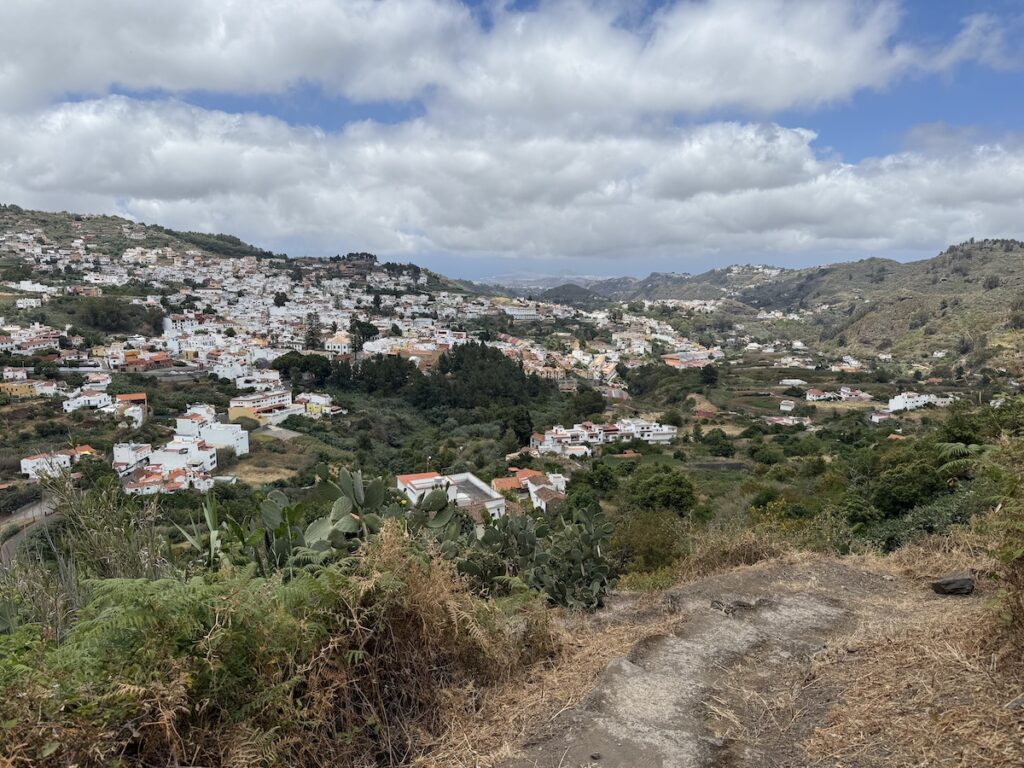
The hike begins on the outskirts of Teror, a beautiful colonial-style town that is well worth exploring after the walk. Parking near the start of the trail is limited, with mostly narrow roads and just a few parking spots, but so far we’ve always managed to find space when arriving.
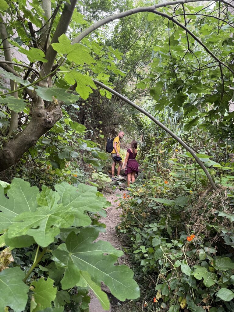
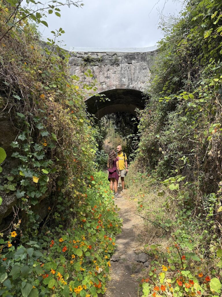
The trail quickly leaves the town behind and descends into the unusually lush nature this area is known for. Shortly after setting off, we passed beneath a small bridge overgrown with flowers and greenery, a moment that felt almost like stepping into a hidden, magical world. There was a sense of abundance here rather than isolation. Ducking under colourful branches while carefully navigating muddy and rocky patches made the hike feel even more adventurous.
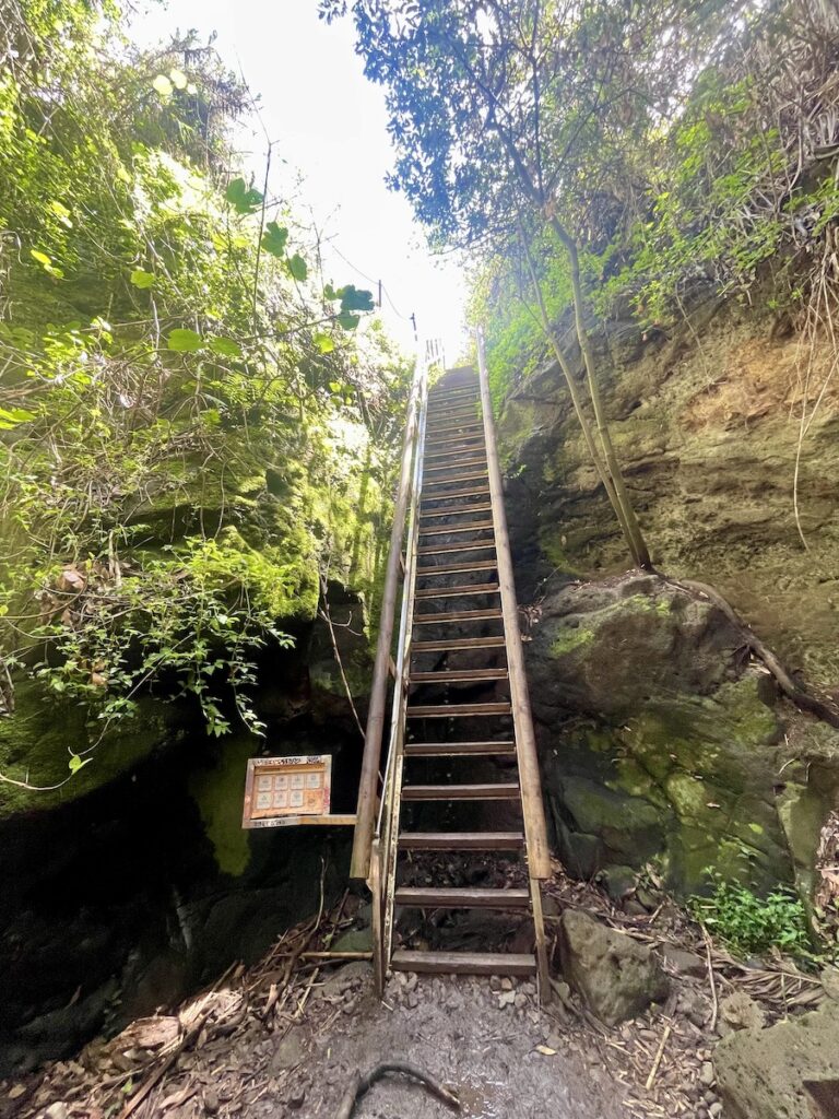
After some time wandering through this forest-like landscape, we reached two wooden and metal ladders installed by the local government to help hikers ascend steeper sections of the trail. The ladders feel safe, but proper footwear is essential, as the area is very humid and can be slippery.
The route then leads into a ravine with steep walls covered in ferns and cacti at the same time, a combination I hadn’t seen anywhere else. The ascent continued until we reached a road where we could admire the beautiful houses of the area, each surrounded by gardens full of fruit trees. From there, the trail returned to nature, and the scenery slowly shifted into a cooler, more mountainous environment. From this section, we could overlook several nearby towns and admire La Agujerada, an arch-like rock formation located high on a mountain, perfectly framed from this angle.
The views continued to surprise us. The vegetation kept changing, and the sometimes contradictory presence of eucalyptus and cacti growing side by side accompanied us all the way to the summit, where we reached the Cruz de la Hoya. We stopped here to enjoy the view and have a small snack, having already been hiking for around two hours.
From there, the descent began, and it was a careful one. The humid clay made the steep path slippery as it wound its way between giant ferns. Eventually, the terrain changed into a rocky descent through eucalyptus trees, followed by a stretch lined with fennel plants and the towering pillars of agave. At the end of this section, we once again crossed into a small residential street, where houses sat beautifully along a long staircase, all surrounded by colourful fruit trees.
Just when we thought we were leaving the forest behind, we found ourselves re-entering the green, almost enchanted landscape once more. Along the way, we shared some of our water with another hiker who had been hoping to find a fountain in the area, only to discover there wasn’t one. We followed a small stream, occasionally hopping over it to stay on the path, until we reached the back side of town, where locals were out running and walking.
Finally, we returned to where we had started. Before leaving, we couldn’t resist strolling through the charming colonial streets of Teror and sitting down in one of the local tascas to enjoy some traditional Canarian food.
Note: This region receives more rain than much of the island, and it can be windy at the top, so bringing a jacket is a good idea.
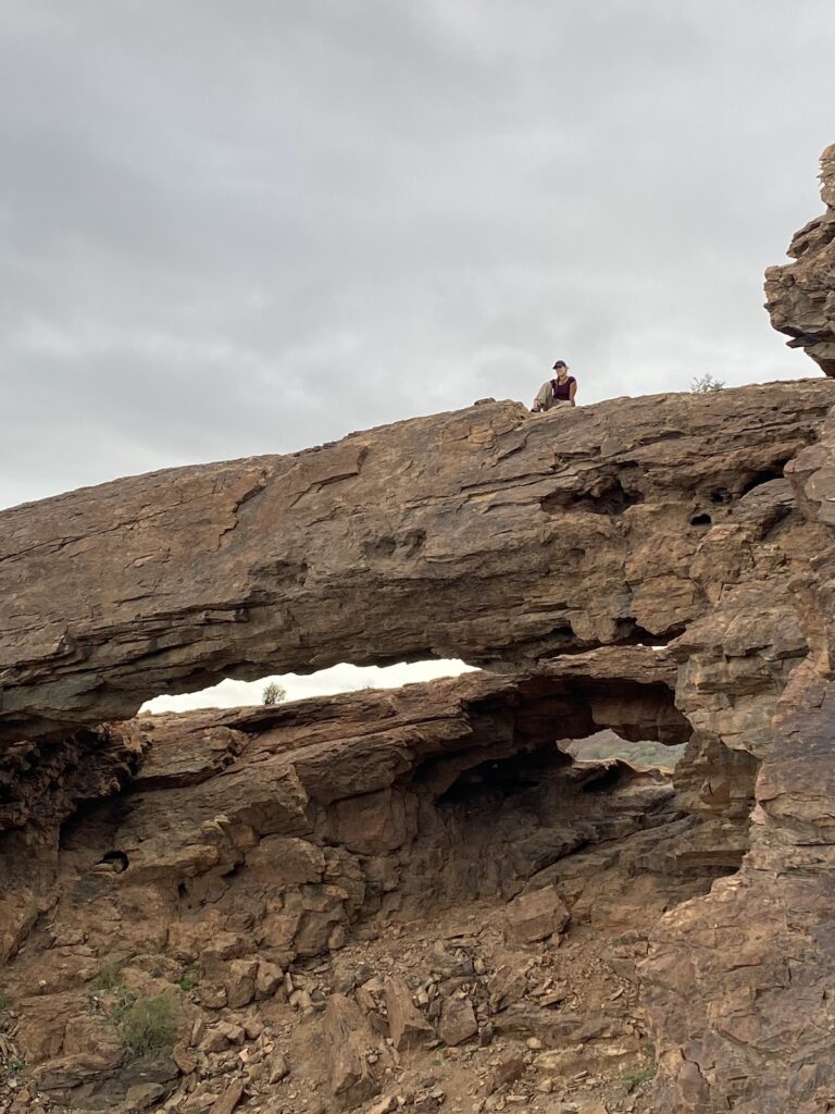
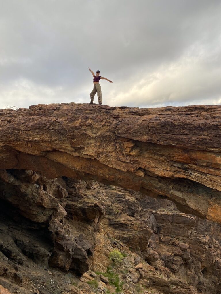
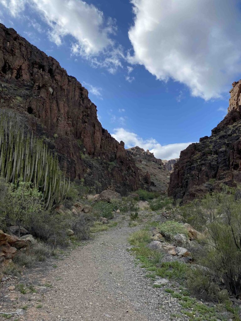
4. Bahía Feliz – Arco del Coronadero
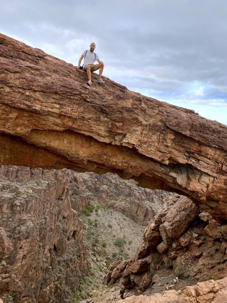
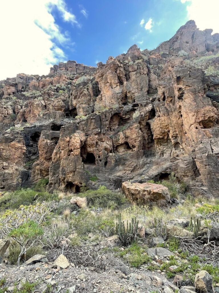
Walking through Barranco Hondo, one of the longest and widest ravines in Gran Canaria, you’ll discover a rugged, desert-like landscape filled with valleys, cliffs, and caves carved into the rock. The route eventually leads to an impressive stone arch that you can climb on top of, Arco del Coronadero. The largest natural rock formation on the island, a dramatic double arch shaped over millions of years of erosion.
Distance: 11,4 km
Duration: 3-4 hours
Trail type: Loop
Typical climate: Sunny and hot
Altitude: 424 m
Elevation Gain: 464 m
Difficulty: Hard
Trail start: 27.78504, -15.51764
Trail link: HERE
Description:
This hike begins close to the highway, at a reasonably sized parking lot. The first part of the trail gradually pulls you away from the noise and views of the busy road you’ve just left behind. You’ll need to pass an industrial aggregate crusher before really entering the most beautiful part of the hike, and it’s worth noting that this initial stretch can be discouraging due to the unfortunate amount of trash scattered along the way. Try not to let that dampen your motivation.
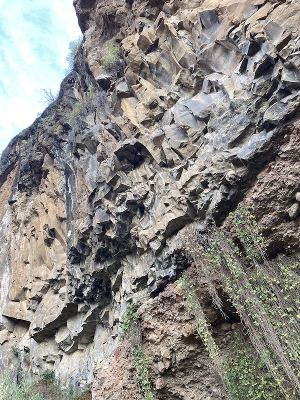
To reach the arch, there are two possible routes: either following the ravine floor or taking the upper path along the edge of the ravine. Both options are impressive in their own way. One of them leads through a long tunnel carved directly into the rock. We even tried crossing it without a light at first, since you can just barely see the glow at the far end, but Laura is not a fan of the dark, so we turned the light on our phones halfway through.
As we continued, we walked through breathtaking valleys and ravines, past old cave dwellings, small rivers, and vast deserted areas filled with cacti. The combination gave the strange and beautiful impression of a valley once inhabited by mystical creatures who had carved a city into the rocks. After exiting the tunnel, we decided to follow the riverbed and venture away from the marked trail, which led us to a small cliff scattered with large boulders that we ended up climbing over. This added a fair amount of adrenaline and extra time to the hike, something we don’t necessarily recommend.
Having completely lost the trail, we then had to scramble up a steep, gravelly mountainside to reach the upper plateau, feeling a bit like mountain goats. Once we reached the top, we took photos of the arch from every possible angle. Eventually, we put our phones away to simply take in the views, the stillness, and the present moment, remembering why we came here in the first place. That’s something we truly recommend doing, and something that is so easy to forget in the busy life and world.
The return route is not the most exciting. Parts of it either descend along a steep road covered in loose gravel or follows a more “normal” gravel road intended for cars. Unfortunately, this section passes once again through areas that resemble dumping grounds all the way back toward the highway.
Disclaimer: Even though the start of this hike is undeniably dirty, there’s a reason it ranks so high on this list: it is truly magical. Let’s keep visiting places like this, and equally important, let’s also do our part to help clean and protect them.
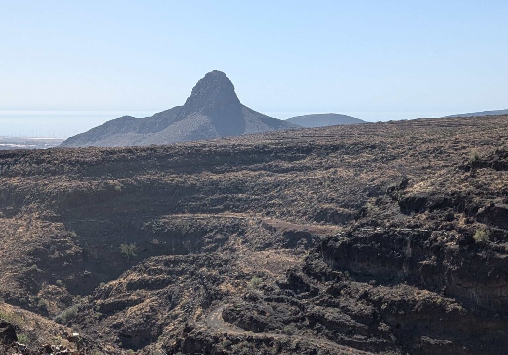
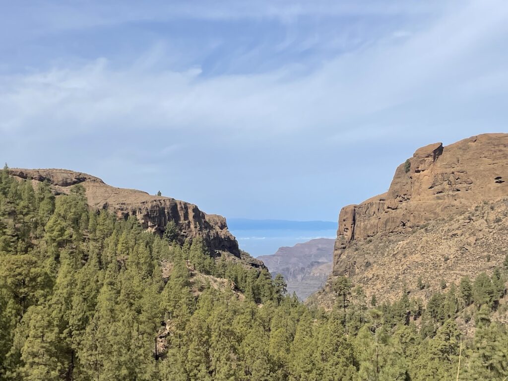
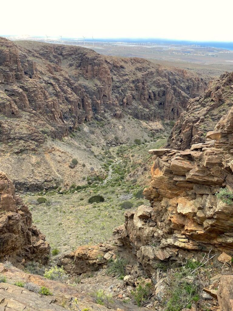
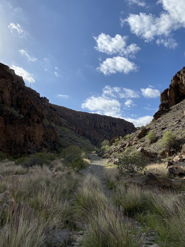
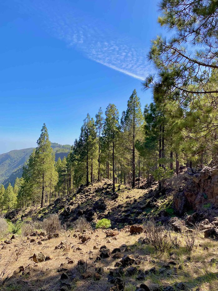
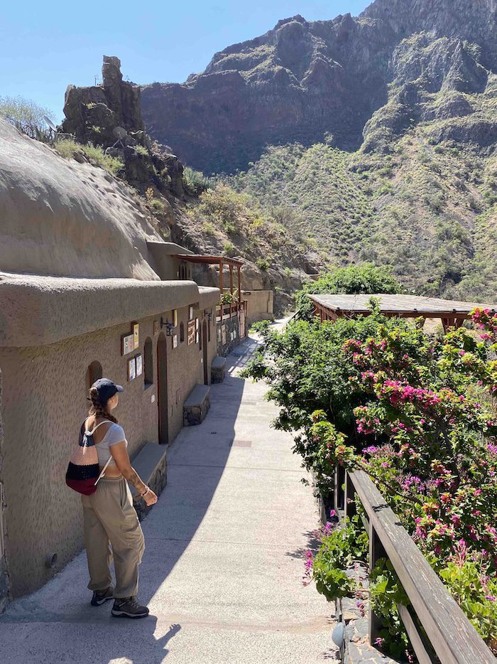
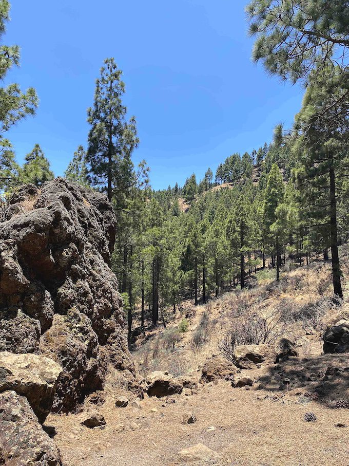
3. Montaña de las Tierras – Guayadeque Valley
An astonishing hike through everchanging Canarian landscapes and unique natural surroundings. Spectacular valleys, natural caves once inhabited by the native islanders, pine forests scattered with lava rock formations, and green mountainsides thriving with cacti and succulents. This trail offers a little bit of everything.
Distance: 14,3 km
Duration: 5-6 hours
Trail type: Loop
Typical climate: Sunny with occasional clouds
Altitude: 1.735 m
Elevation Gain: 838 m
Difficulty: Hard
Trail start: 27.934927, -15.512923
Trail link: HERE

Description:
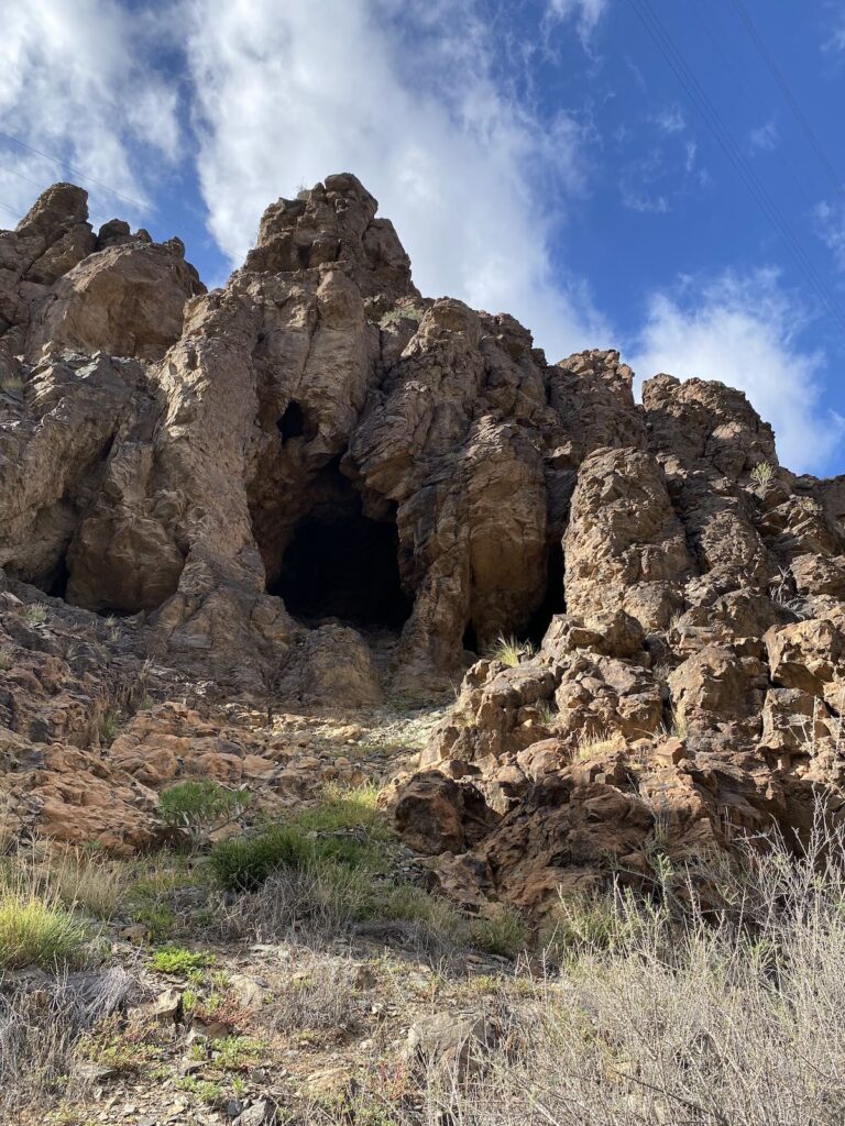
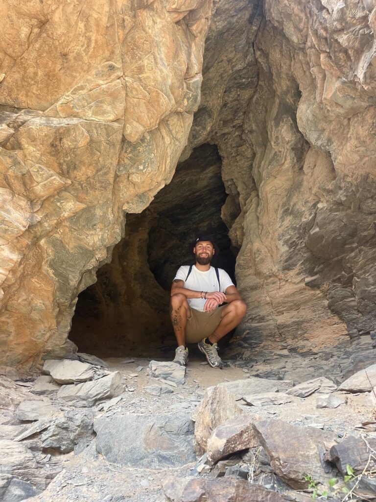
The impressive scenery begins even before reaching the trailhead. The final stretch by car winds through dramatic cliffs dotted with ancient cave dwellings. It’s not possible to stop and explore them at this point, but don’t worry, the starting area of the hike brings you directly into Canarian history among these caves. Many are still used today as homes, restaurants, and even a small gift shop, tucked into the steep rock walls. If you have time after the hike, we can definitely recommend enjoying dinner in one of these unique cave restaurants.
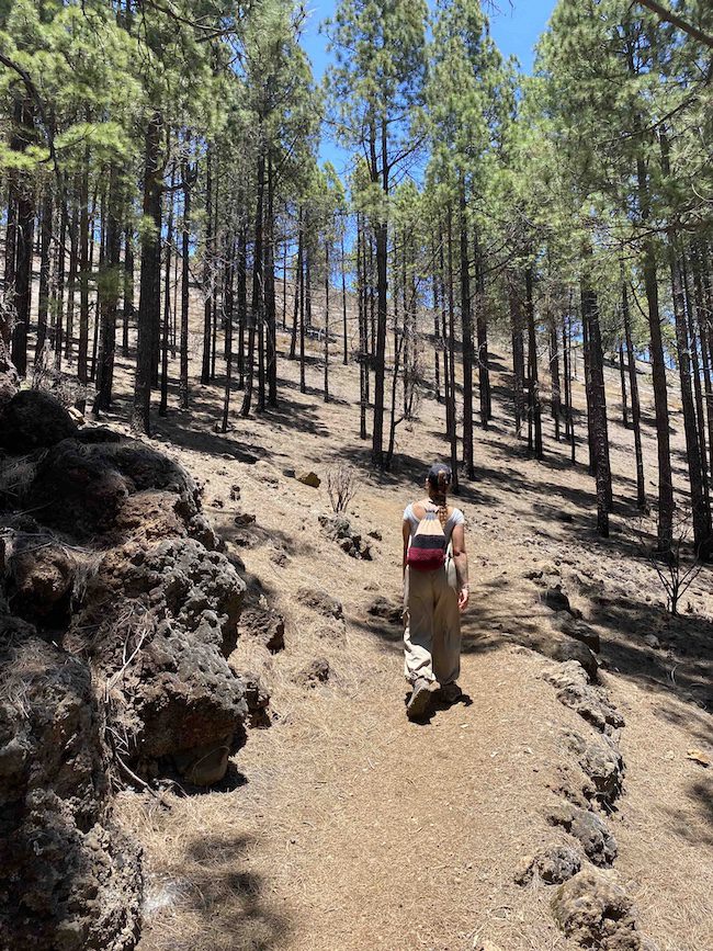
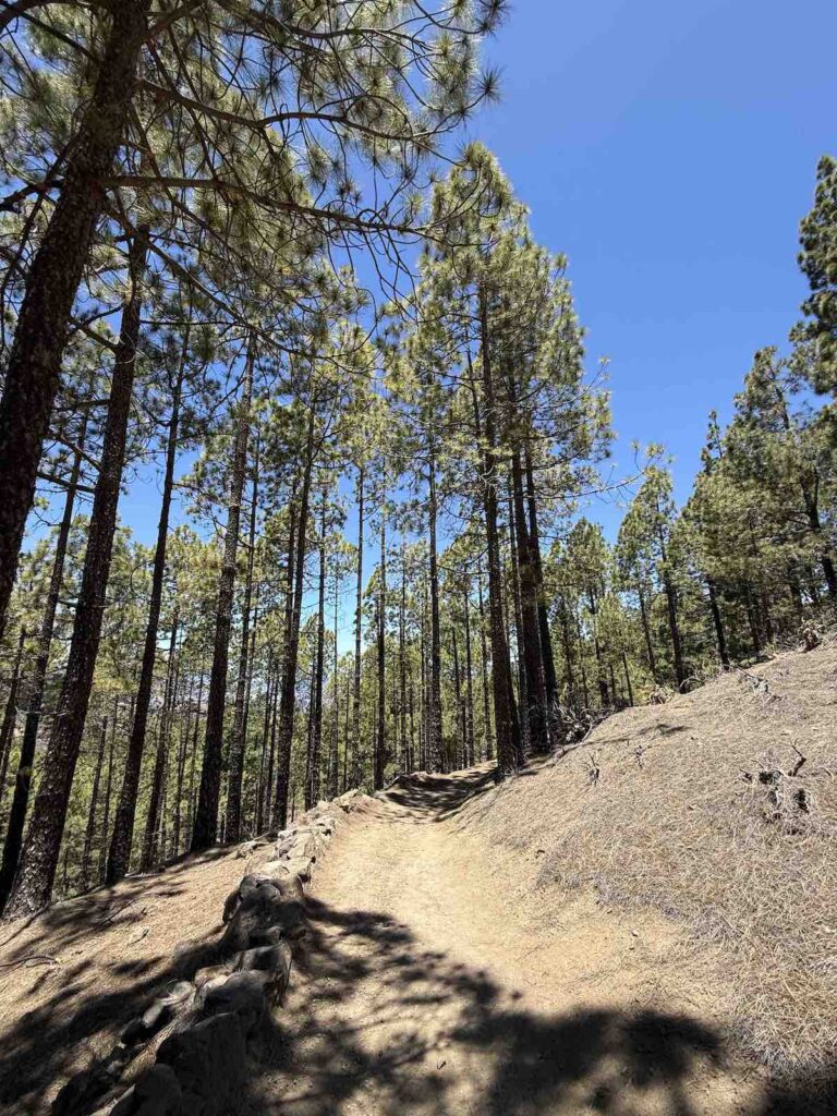
As we continued, the environment gradually shifted from stark desert terrain into a forest of pine trees and lava rocks – a landscape unlike any we had experienced before. The ascent becomes steeper here, and you have to watch your footing carefully to avoid sliding on loose pine cones and loose gravel. True to our tradition of choosing the “more interesting path,” we somehow ended up on private farmland guarded by dogs who were clearly not welcoming visitors. Luckily, a kind local appeared and pointed us back toward the correct trail. In fact, he has been the only person we’ve ever encountered on this hike, even though we’ve done it twice. To avoid this yourself, download the map, stay to the trail and don’t go for the interesting shortcut when the trail leads to a big v-shaped trail around.
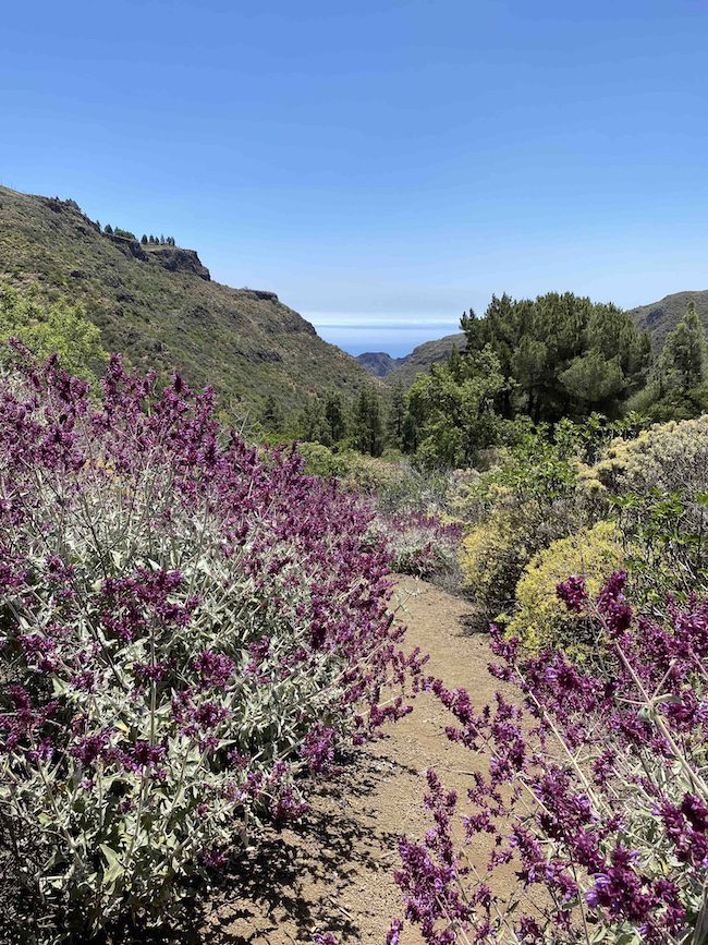
Once back on track, we walked among blossoming bushes of purple and white sage, eventually reaching a stretch where the mountain rises on one side and breathtaking panoramas of valleys and ravines open up on the other. There are plenty of spots here to pause, breathe, and fully take in the peaceful, wild surroundings.
After a short lunch break with a view, we continued across the plateau, where the landscape transitioned yet again. From pine forest to an expansive green mountainside covered in cacti, succulents, and delicate wildflowers. It’s the perfect section to regain energy and mentally prepare for the “thrilling” descent ahead.
And thrilling it is. The final stretch is a steep cliff with a poorly marked trail and loose rocks in all shapes and sizes. Expect to use both hands and feet here. It’s demanding, at times confusing, but the views are absolutely spectacular.
Overall, the hike could be considered moderate, but the final descent pushes it into the hard category. You need to be reasonably fit to fully enjoy this one. We once brought my parents along, they’re in their mid-50s and have previously hiked in the Indian Himalayas, Kilimanjaro, and the Atlas Mountains. We assumed this trail would be manageable for them. And although we did complete it, it wasn’t without some struggle and moments of anxiety. Still, it ended with one of the best post-hike beers we’ve had in a long time at the traditional cave restaurant Tagoror.
Note: Proper hiking footwear is essential here. Walking sticks are also highly recommended.
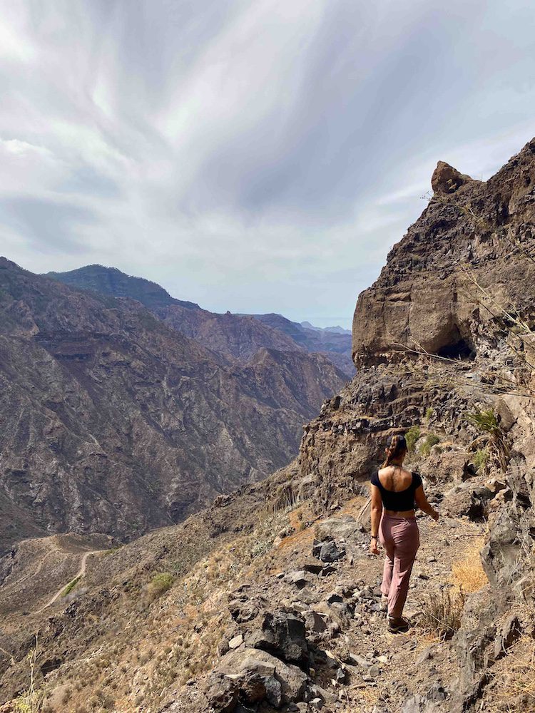
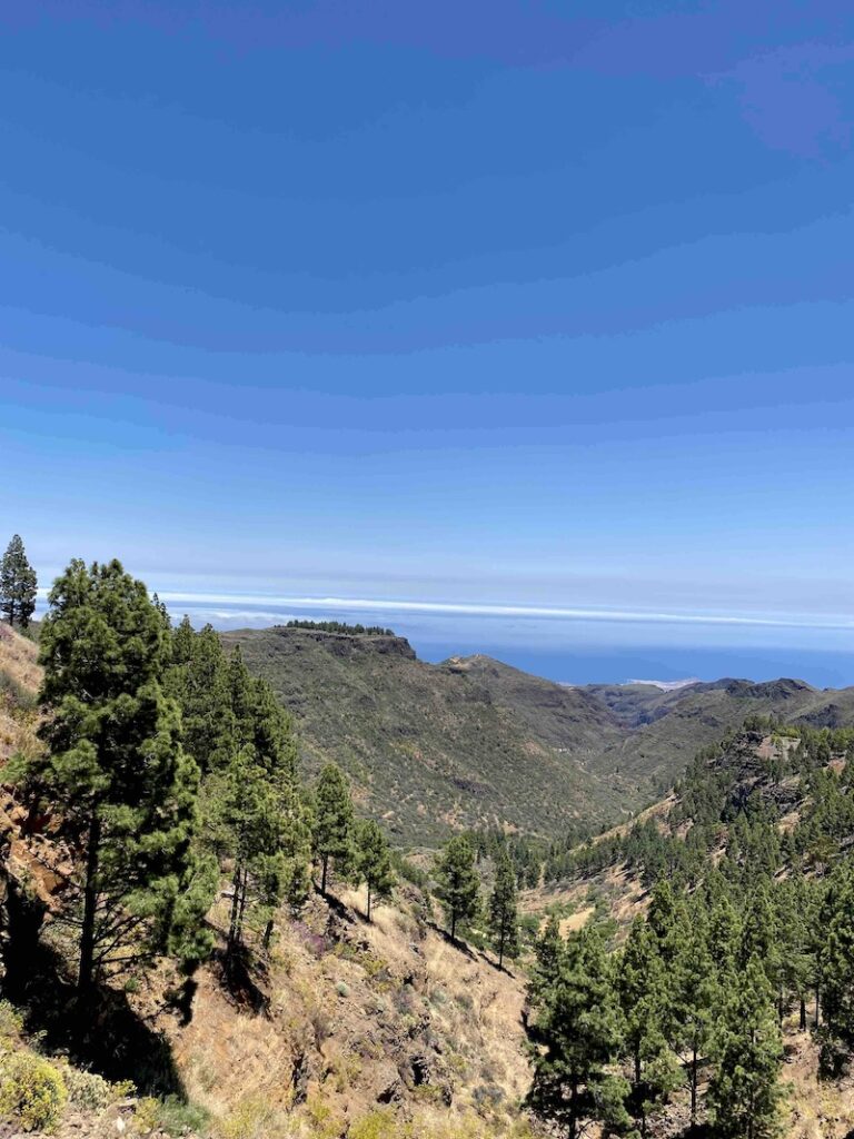
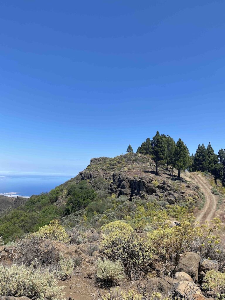
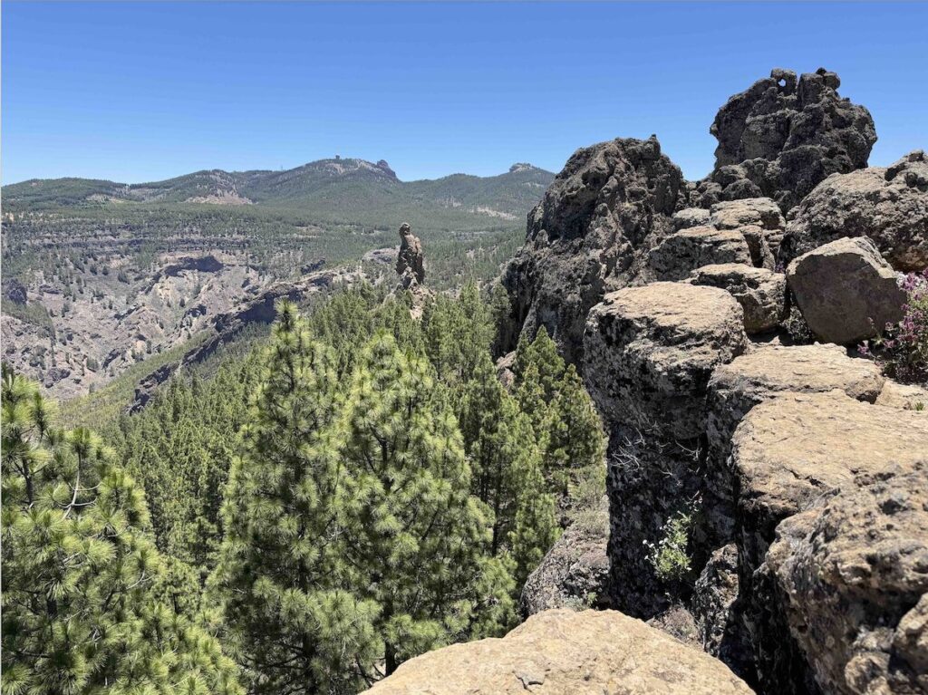
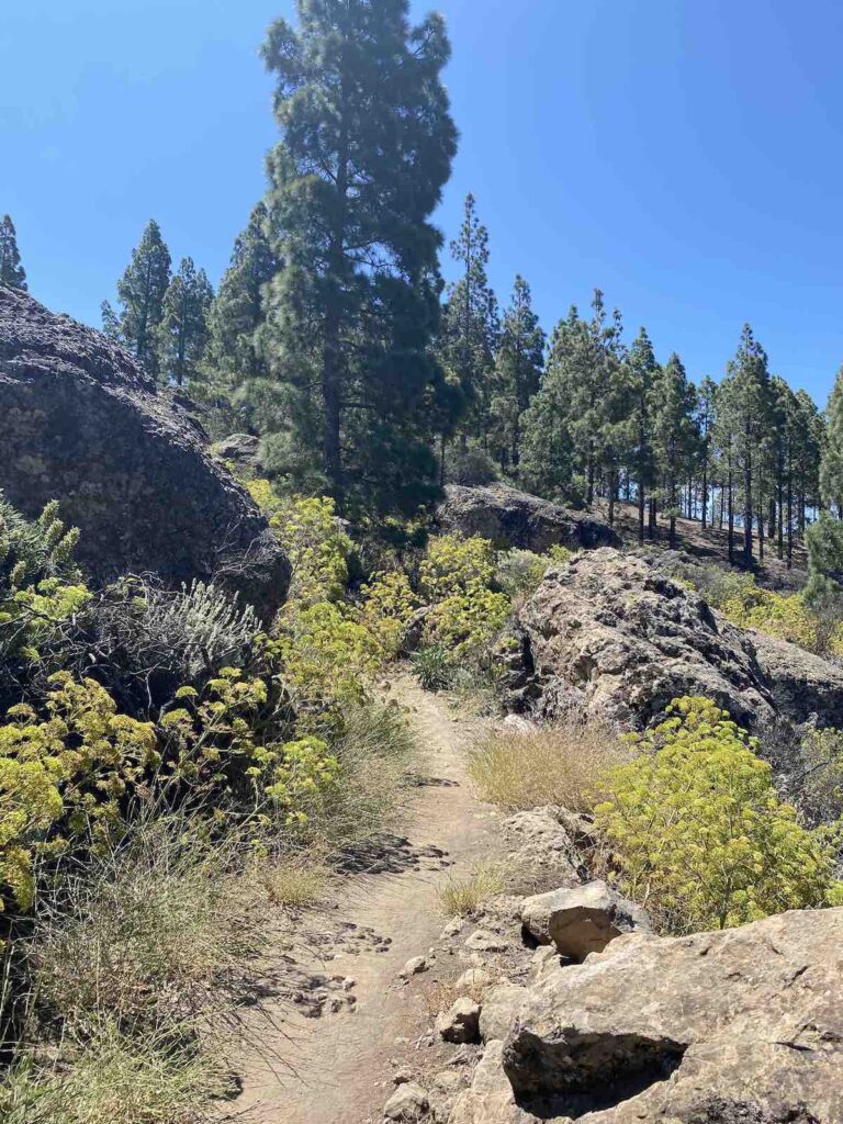
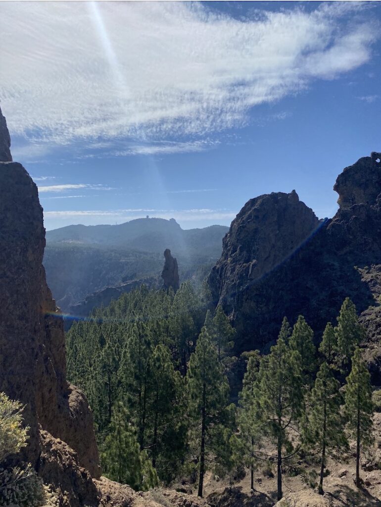
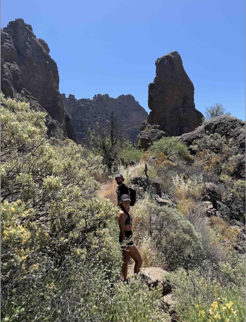
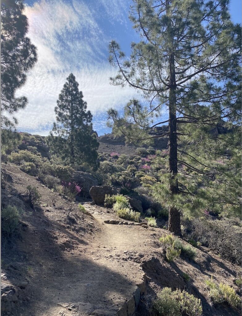
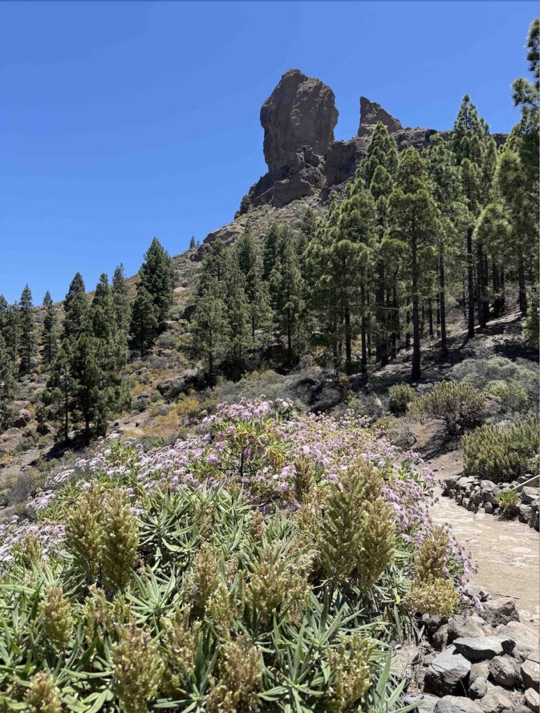
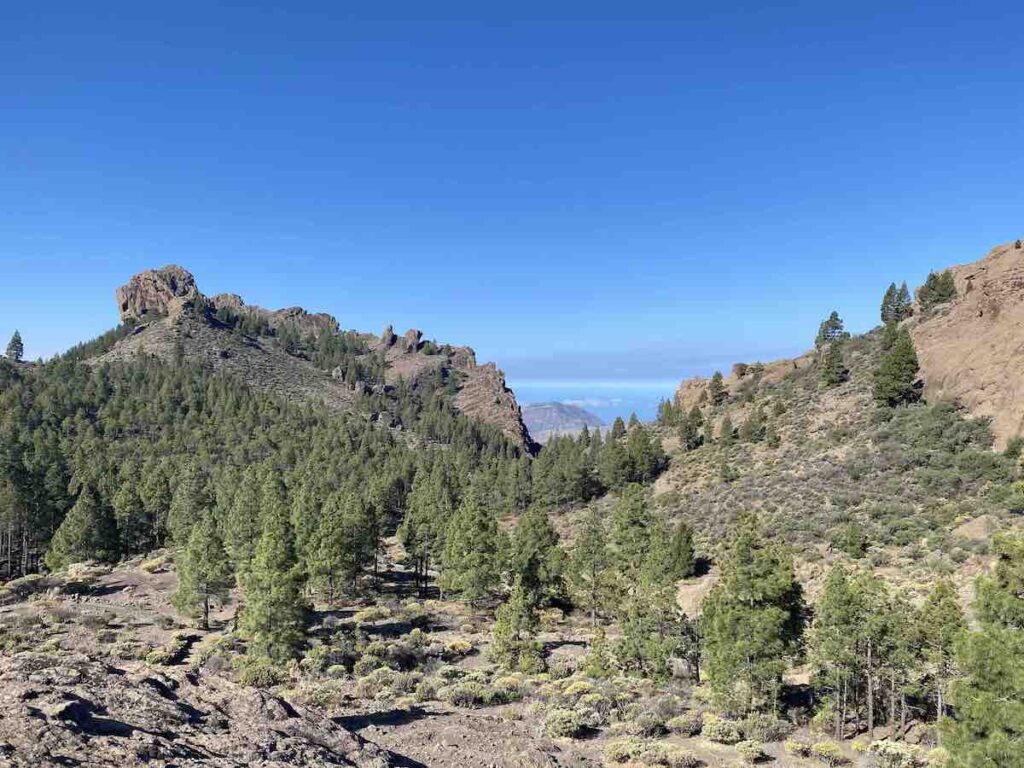
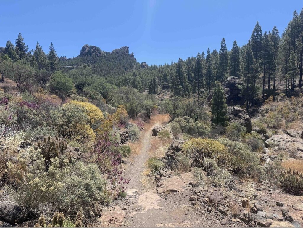
2. Degollada del Aserrador – Roque Nublo
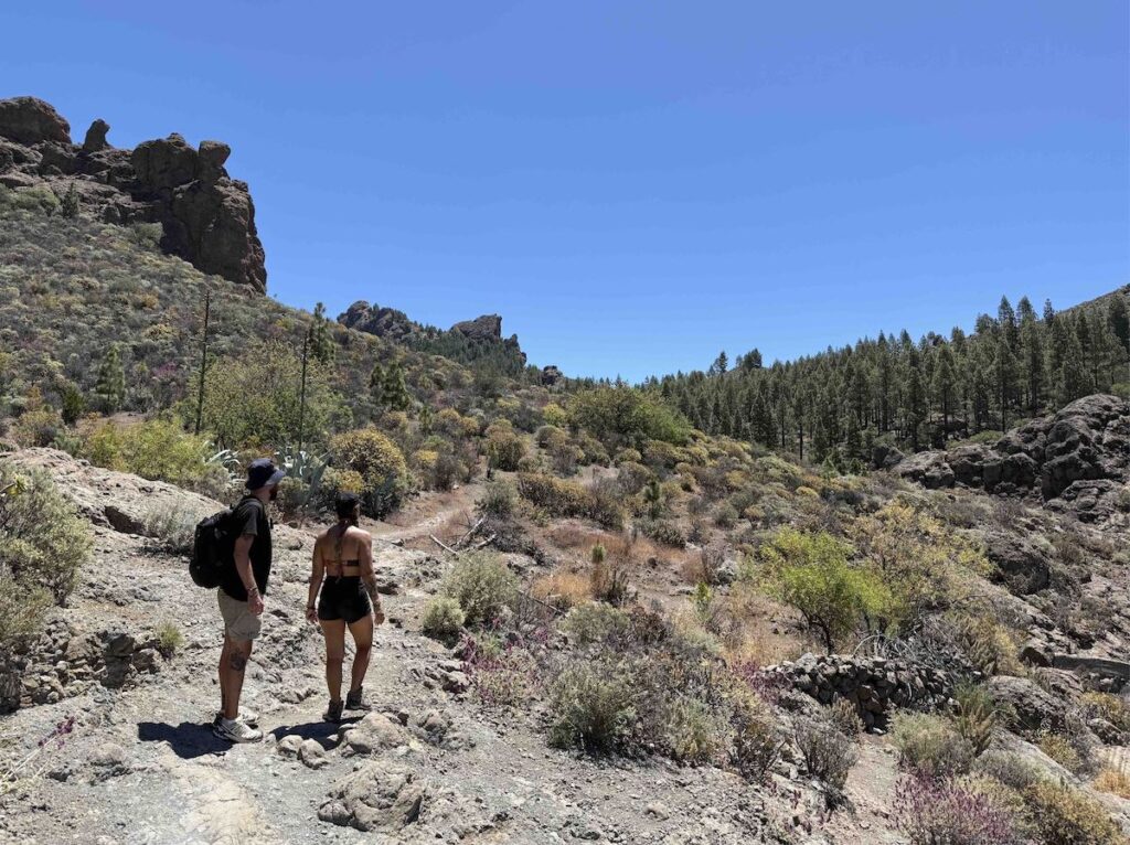
This hike is one of the classics on the list, and the one I’ve done the most times, as it’s my go-to route when friends and family visit the island for the first time. It’s incredibly beautiful, leads to one of Gran Canaria’s must-see landmarks, is relatively easy, and somehow manages to avoid crowds for about 90% of the trail. Think of it as the unknown backdoor to Roque Nublo.
Distance: 8 km
Duration: 2,5-3 hours
Trail type: There and back
Typical climate: Sunny
Altitude: 1.770 m
Elevation Gain: 410 m
Difficulty: Easy
Trail start: 27.959403, -15.626904
Trail link: HERE

Description:
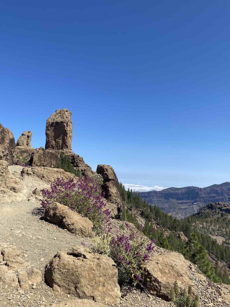
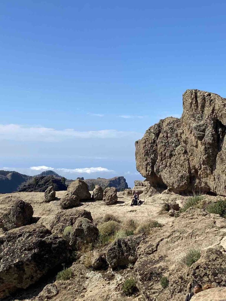
The trail begins at a small parking area next to a bus stop. The ascent quickly leaves the road behind and starts the journey toward Roque Nublo, one of the island’s most awe-inspiring natural landmarks. Formed by volcanic activity around 4.5 million years ago, the rock rises 80 meters tall at 1,813 meters above sea level, making it the third highest point on the island after Pico de las Nieves (1,949 m) and Morro de la Agujereada (1,956 m). Historically, it served as a place of worship for the indigenous Canarians, who considered it sacred.
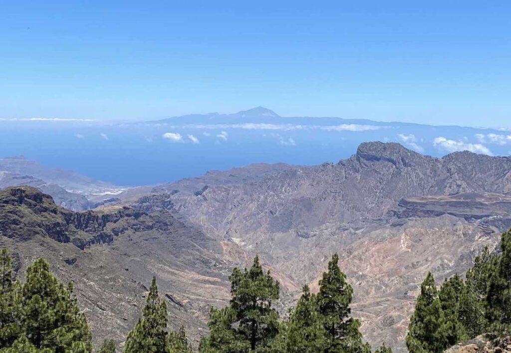
At the beginning of the trail, you’ll climb through dramatic rocky cliffs. The higher you ascend, the more volcanic the terrain becomes, and the wider the horizon opens. On a clear day, it’s even possible to see all the way to Mount Teide on the neighbouring island of Tenerife.
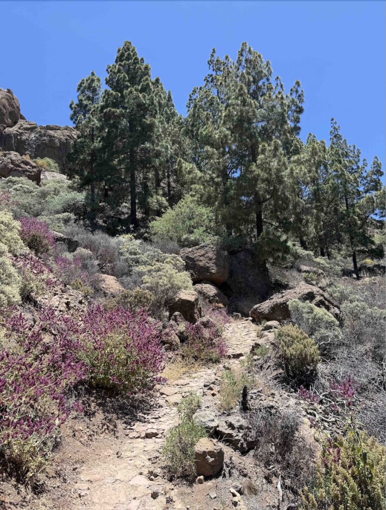
Throughout the hike, there are several ups and downs before reaching Roque Nublo. The first descent winds among rocks and purple sage bushes down to the bottom of a small valley. From there, a new ascent begins, accompanied by the calls of hawks and other birds circling above. The second descent leads to a small reservoir that you must pass to stay on the marked trail. Here, the path crosses large boulders that can make it slightly tricky to stay on track. The scenery shifts yet again, after a long stretch of rocks and dry, spiky vegetation, tall pine trees begin to line the mountainside, joined by almond trees and more sage.
From this point, you’ll have a stunning view of Mount Teide on the horizon and the towering Roque Nublo rising ahead. Here the trail connects with the “main” route, which means other hikers suddenly begin to appear. Since this is one of Gran Canaria’s highlights, it can get busy. But if you start early in the morning, you’ll have a much better chance of enjoying the spectacle with fewer people around.
From there, a steep set of steps leads up to the majestic plateau where Roque Nublo stands. At first, you’ll see it from a distance, but the path gradually brings you closer to the monumental rock. You’ll likely notice the stronger winds that come with the altitude, so a light jacket is a good idea.
After crossing what feels like an endless stretch of orange volcanic rock, you’ll reach a final set of steps that brings you even closer to the base of Roque Nublo. For the less adventurous, this is already a perfect spot to take photos and admire the panoramic views of the island below. For those seeking a bit more thrill, you can scramble over a short section of large rocks to explore the base of the formation more closely.
We’ve always enjoyed reaching the left side of the rock, where there’s a small hollow in the cliff that makes for a perfect lunch spot. Sitting there with a few people, sheltered from the wind and overlooking the vast landscape, is one of our favorite moments of the hike.
The return after Roque Nublo follows a relatively short loop around the summit before reconnecting with the trail back to the car. In some ways, this route down feels even more scenic than the way up.
At the end of this hike, we’ve made it a tradition to drive 15 to 20 minutes to Tejeda which is often considered one of the most beautiful towns in Spain. And even more important, is where we reward ourselves with the almond cakes and pastries the town is famous for.
Bonus: The top of Roque Nublo used to be heavily overcrowded, but recently the government introduced a permit system for access via the main trail. This alternative route does not require a permit.
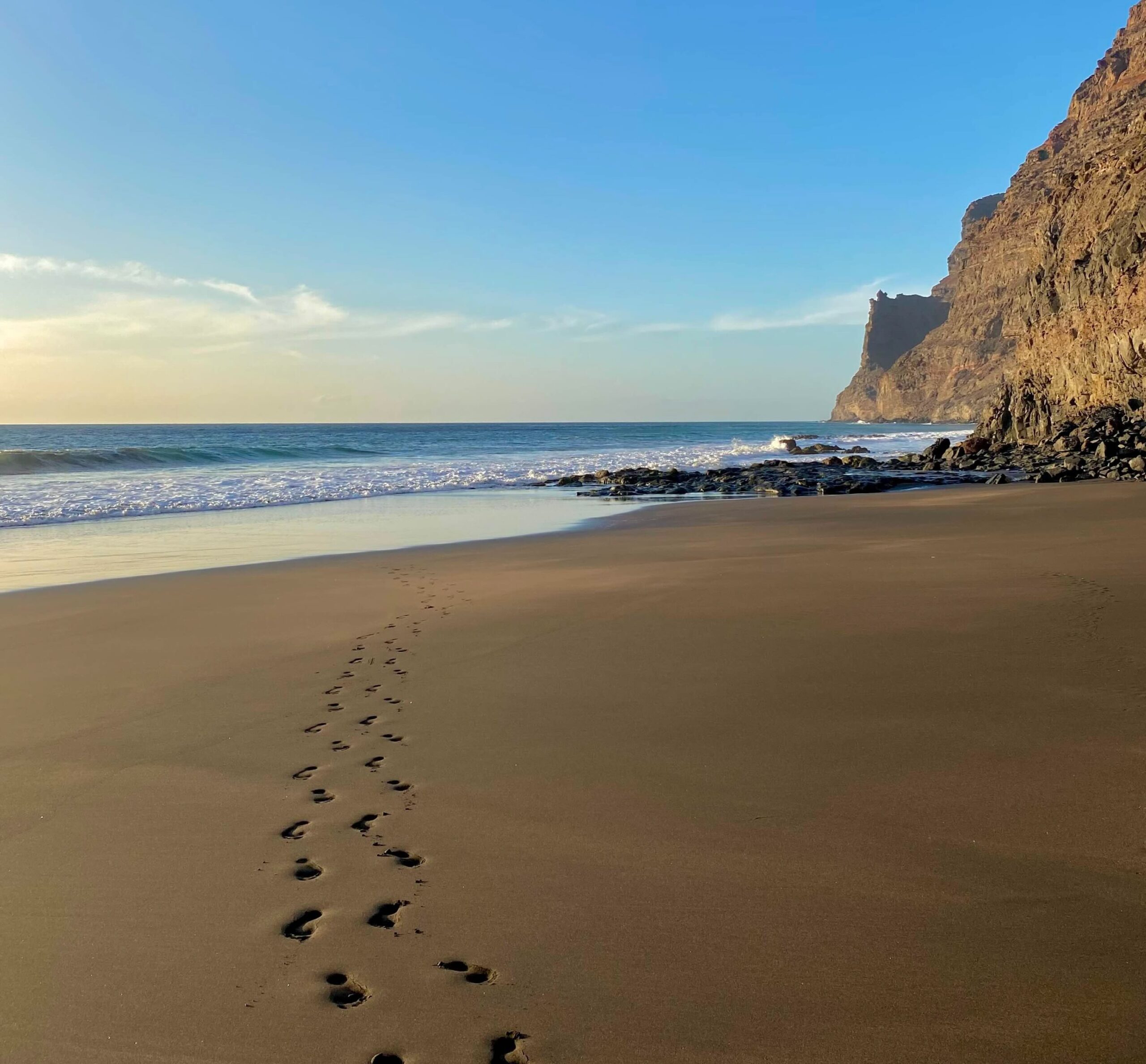
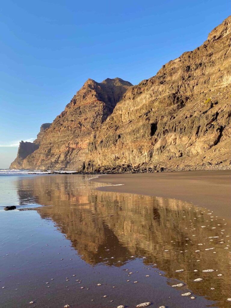
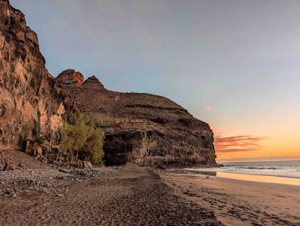
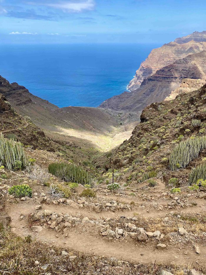
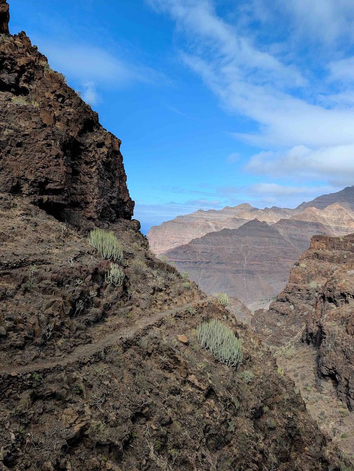
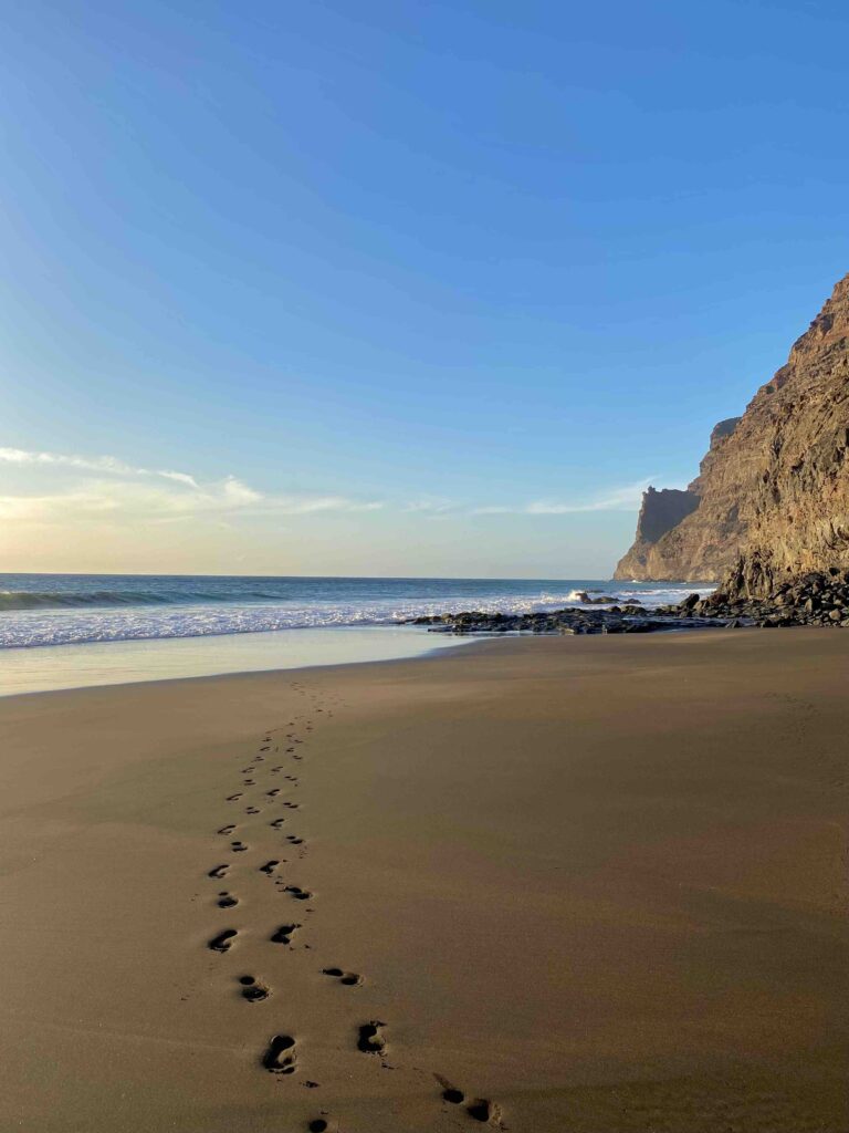
1. Playa de Güigüí
Güigüí might be the most beautiful and remote beach in Gran Canaria. Even though it’s rarely completely empty, there are far fewer people here than almost anywhere else on the island. The hike itself is one of the most scenic coastal trails in Gran Canaria – and probably one of the hardest – but the final destination makes every demanding step worth it.
Distance: 6 km each way
Duration: 2,5-3 hours each way + Beach
Trail type: There and back
Typical climate: Sunny and hot
Altitude: 577 m
Elevation gain: 1.068 m
Difficulty: Hard
Trail start: 27.922333, -15.808370
Trail link: HERE
Description:
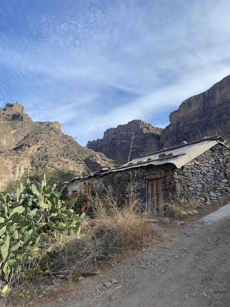
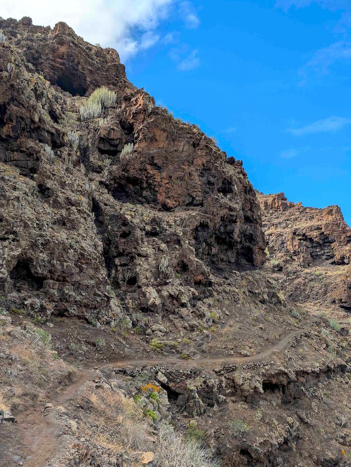
The journey to Playa Güigüí begins with an exciting drive for me, yet a slightly stressful one for Laura. The mountain road is breathtaking, filled with hairpin turns and narrow two-way stretches that barely fit one car at a time. The route leads to the least visited western side of the island, to the dry valley of Tasartico. Here, among tomato fields and scattered farmhouses, you’ll find plenty of parking near the start of the trail.
At the trailhead, a sign warns of the difficulty: extreme temperatures, little to no shade, and a steep mountain pass ahead. This is not a hike to underestimate. The two times we’ve done it, we carried large backpacks filled with food, water, and a few comforts for the beach, adding an extra layer of challenge.
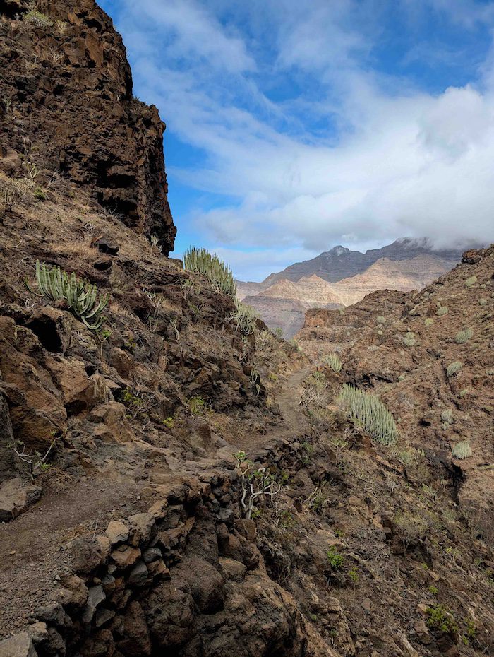
The first stretch rises quickly toward the mountain pass. The ascent is steady, rocky, and winding, with some loose stones. As we climbed, the view slowly opened over the barren volcanic landscape behind us. We kept a steady rhythm, taking only short breaks and hydrating constantly. From the very beginning, the sun feels relentless. The mountain ahead seems to grow taller with every step. On this side, the flora contains mostly rocks and towering cacti, some over three meters high, but none provide real shade or shelter.
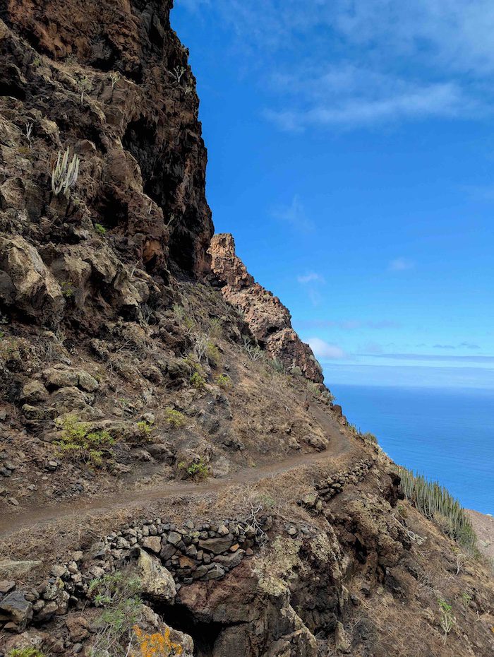
After about an hour of climbing, we finally reached the pass. A view that will take your breath away, if you weren’t already out of it. The landscape on the other side felt completely different: towering cliffs, deep ravines, and the Atlantic Ocean far below.
After pausing to take it all in, we began the descent. The narrow path zigzags down the mountainside, uneven and exposed, but increasingly dramatic with every turn. To the right, massive mountains painted in deep red tones. To the left, towering lava rock walls carved with caves, almost like a giant beehive. Ahead, the rugged coastline meets the endless blue ocean. And on the horizon, the island of Tenerife appears, with Mount Teide peeking through the clouds like a mirage.After a long traverse carved almost into the mountainside, the real descent begins. Until now, the cliffs had offered some shade, but soon we were back under the full force of the sun. The terrain becomes steeper, covered in loose gravel and unstable stones. Every careful step downward makes you aware of the weight of your backpack and the strain on your knees.
Finally, the slope softens into a wide, dried-out riverbed. This flat stretch lasts longer than expected, passing old agricultural terraces, a few isolated houses, the first palm trees of the day, and even a small quirky cabin that functions as a café. Here you can buy coffee, tea, lemonade, and refill your water bottle. From this point, it’s about 30 minutes to the beach.
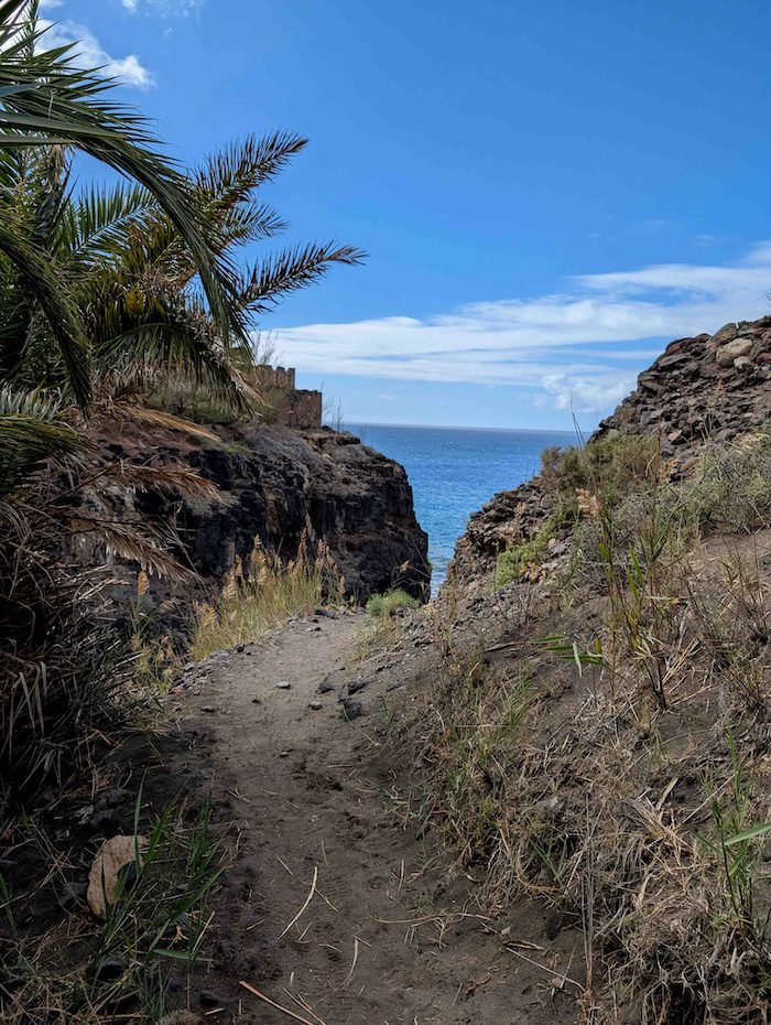
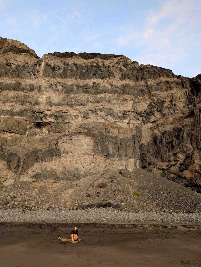
The final descent follows a ravine toward the sea until Playa Güigüí finally reveals itself. Two secluded beaches of black sand and turquoise water, enclosed by monumental cliffs. Remote and raw, it feels like a hidden corner of the island that only hikers can reach. It’s easy to spend an entire afternoon here in near solitude
On arrival, the first thing we did was drop our bags and our shoes. We explored the first beach, where some hikers were simply resting before making the return journey. Others were sunbathing or swimming in the ocean. Along the shore, small wind-protected spots are formed by small layered rock walls. We managed to claim the highest one and set up our base for the day
After playing in the powerful waves and getting thoroughly tossed around by the Atlantic, we decided to explore further. As the tide began to fall, the right side of the beach slowly revealed a shallow rocky passage leading to a second hidden stretch of sand. We carefully crossed over the rocks and found ourselves on a vast black-sand beach with no one else in sight. Signs of a recent landslide were visible on the mountainside, rocks scattered across a slope of sand. We walked all the way to the end before deciding to return. Be mindful of the tide coming back to avoid be caught here.
The return follows the same demanding route, but this time with tired legs, sun-kissed skin, and the memory of a spectacular beach carrying you forward. And, inevitably, new plans forming to come back again.
Note: Camping is prohibited here. Although you may occasionally see a few people staying overnight anyway.
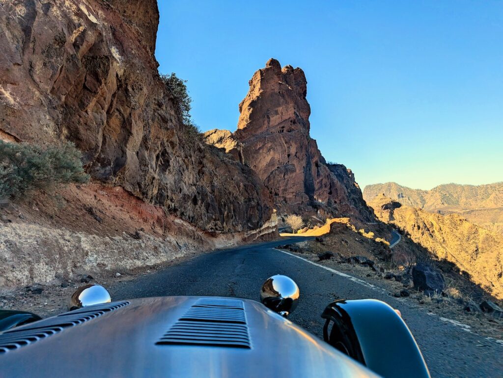
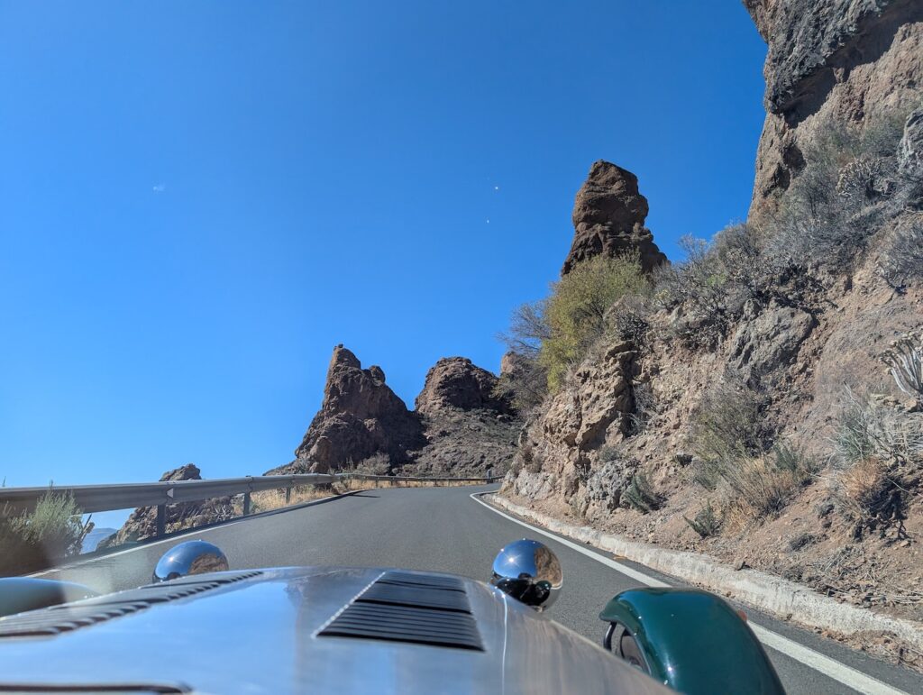
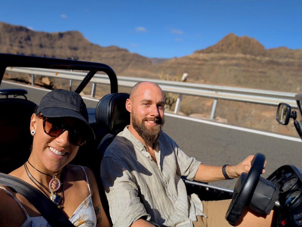
Roadtrip around Gran Canaria in a Caterham Super 7
This was one of the most fun adventures we’ve had in our two years living here, and probably the best way to experience most of the island’s incredible diversity in a single day. Renting this remarkable little car and setting out to discover hidden viewpoints, small inland towns, and breathtaking scenery along the way is something we can recommend without hesitation.
Time: 10.00-18.30
Price: 140 EUR
Contact: HERE
We are not affiliated with them in any way! We just want to share this. However, please mention that you saw this through us, we would like to be able to negotiate a discount in the future for our community.
Description:
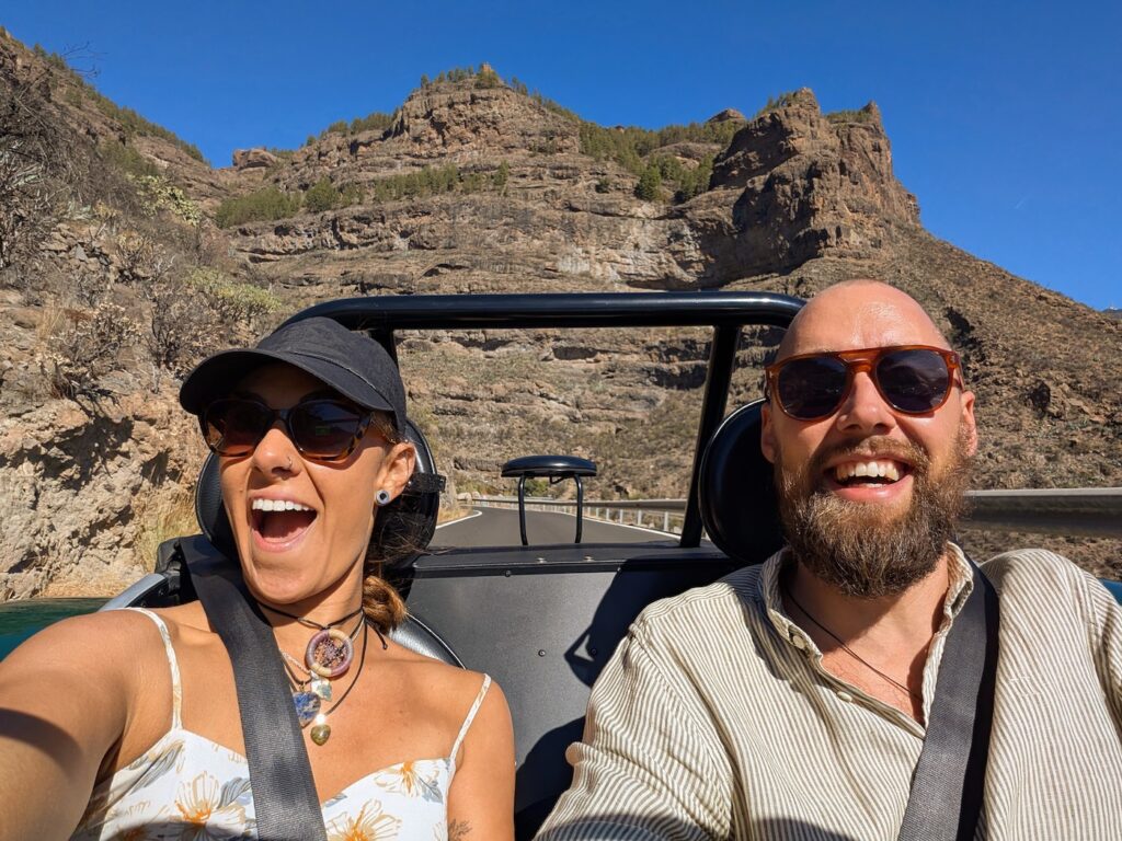
The day started very differently for each of us. I was beyond excited, looking forward to driving this fun little go-kart, with less than 500 kg of pure fun, on some of the best roads in Europe. For Laura, it was a slightly different story. The narrow, winding mountain roads already raises her stress levels… and now we were about to drive them in what looked like a race car?
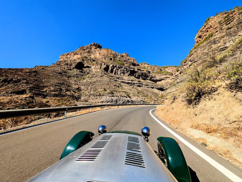
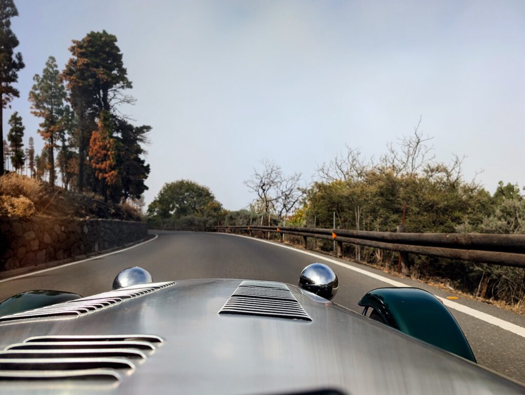
But after about 20 minutes of adjusting and settling in, it was nothing but smiles, laughter, and pure enjoyment. Despite its appearance, this isn’t a race car. With a 660 cc engine and 80 hp, it’s not particularly fast, but because it’s so lightweight and sits just centimetres above the road, it handles like nothing else. It’s pure driving pleasure. With no roof or doors, you feel the wind, smell the changing landscapes, and become completely present in your surroundings.
Before setting off, we had mapped out several small towns and viewpoints we wanted to visit. Being optimistic as always, we also checked driving times and kept things realistic since the car had to be returned in the early evening. We chose a few fixed stops and kept the rest as “bonus” options if time allowed.
The stops were wonderful, but the true adventure was the drive itself. Exploring Gran Canaria in a car like this forces you to notice and appreciate the island’s dramatic contrasts. From steep cliffs and fragrant pine forests to vast canyons and authentic mountain towns, and with the tranquil coastline never far away.
Our route included:
• San Bartolomé de Tirajana – A charming mountain town with steep little streets winding between colonial-style houses. We stopped for coffee, cake, and a short stroll. Our visit didn’t go unnoticed, locals approached our tiny car with big smiles and waves, asking to take photos to share with friends.
• Cuevas del Rey – An impressive mountaintop with more than 100 caves once used as homes, granaries, and burial sites by the native Canarians. We climbed up the rocky slopes and explored some of the caves, surprised that such a fascinating place isn’t more widely mentioned.
• Firgas – Another beautiful colonial-style town overlooking valleys, mountains, and the ocean on the horizon. We had lunch at El Rincón de Marcos, a restaurant known for its watercress dishes and highly recommended. Afterward, we wandered through the town and visited the stepped fountain along Paseo de Canarias, where each step features painted tiles representing the island’s municipalities.
• Arucas – One of the island’s main cities since pre-colonial times. We drove directly to the area around the impressive neo-Gothic church, Iglesia de San Juan Bautista de Arucas (often referred to as the Arucas Cathedral). From there, we wandered through colourful streets filled with cafés, restaurants, and small shops.
At our final stop, we realized time had caught up with us, so instead of taking the scenic mountain route back to Maspalomas as planned, we had to return via the highway. It was windy and loud, but driving toward the sunset in this tiny open car felt cinematic, almost surreal. Surprisingly, this ended up being Laura’s favourite part of the entire day.
We had even more places marked on our map, but simply ran out of time:
• Museo Etnográfico Casas Cueva de Artenara
• La Aldea de San Nicolás
• Mirador del Balcón
• Natural pools of Agaete
• Cenobio de Valerón
• El Bufadero
• Agüimes
This is a big recommendation from us. Just remember sun protection and a jacket since there’s no roof, no AC, and you’ll drive through multiple microclimates in a single day. And since the car is very compact, bring your narrowest pair of shoes.
Takeaway
Gran Canaria continues to surprise us. What looks like a small island on the map unfolds into deserts, pine forests, volcanic plateaus, hidden beaches, dramatic ravines, colonial towns, and winding mountain roads that make every journey feel like an adventure.
These hikes and experiences have shown us that the island is far more than its resorts and coastline, it’s a place of raw contrasts, quiet magic, and constant discovery. Whether you’re climbing toward Roque Nublo under the high sun, scrambling down to a remote black-sand beach, exploring charming colonial towns, or driving through the mountains with the wind on your face, each route tells its own story.
Next chapter will be in Tenerife! Are you heading there, or interested in learning more, head to our site here.
Leave a Reply